15 Bramley Avenue, Aston, Sheffield, S26 2AQ
About 15 Bramley Avenue
15 Bramley Avenue is a three-bedroom semi-detached house in Aston, Sheffield, Sheffield (S26 2AQ). It has a recorded floor area of 88 m² (around 947 sq ft), construction records dating it to 1930-1949 and council tax band B. The latest certificate (November 2025) shows a D (score 55), a step below the typical UK home. The rating has held steady at D across 2 certificates since June 2014. Between certificates, hot-water efficiency went from Poor to Good; while roof efficiency dropped from Very Good to Good.
Today's modelled estimate of £254,000 sits 55.8% above the 2014 sale of £163,000. Last sold in November 2014, so it's been off the market for around 12 years.
What this property has
Inside
- Bedrooms3
- Bathrooms1
Outside
- Private gardenRear
- GarageDouble
Building
- Heating systemGas
Everything you need to know about 15 Bramley Avenue
The true value, the hidden risks and the full sale history, in one report.
30-day money-back guarantee

The data behind every report


Energy performance
EPC Rating
Property Improvements
Changes detected from historical EPC data
Heating controls upgraded for better temperature management
Hot water system upgraded
Planning history
15 Bramley Avenue has no planning applications on record.
The full report still covers planning activity across the surrounding area.
Sales history & valuation
15 Bramley Avenue valuation sits well clear of the typical sold price in this postcode.
£254,000
Modelled from EPC, postcode comparables.
£163,000
Recorded with HM Land Registry.
Sales timeline
21 November 2014Most recent
£163,000
Median price across the last 5 sales in S26 2AQ: £205,000 (2025–2019).
Nearby sales in S26 2AQ
1 Bramley Avenue, Aston, Sheffield, S26 2AQ
Sold Feb 2025
£182,00019 Bramley Avenue, Aston, Sheffield, S26 2AQ
Sold Aug 2024
£265,00026 Bramley Avenue, Aston, Sheffield, S26 2AQ
Sold Jul 2022
£320,00010 Bramley Avenue, Aston, Sheffield, S26 2AQ
Sold Mar 2020
£190,0005 Bramley Avenue, Aston, Sheffield, S26 2AQ
Sold Jul 2019
£205,000
Versus other Bramley Avenue homes
On co₂ emissions, 15 Bramley Avenue stands well clear of the street.
Price per m²
£1,852
Street avg £1,987
Floor Area
88 m²
Street avg 102 m²
Habitable Rooms
5 rooms
Street avg 6 rooms
CO₂ Emissions
2.7 t/year
Street avg 5.0 t/year
Everything you need to know about 15 Bramley Avenue
The true value, the hidden risks and the full sale history, in one report.
30-day money-back guarantee
The data behind every report
Similar properties nearby
1 Church View, Aston
S26 2FE
1 Aylsham Drive, Aston
S26 2FQ
1 Duckham Drive, Aston
S26 2DZ
1 Arlington Avenue, Aston
S26 2AA
1 Grange Farm Drive, Aston
S26 2GY
1 Bramley Avenue, Aston
S26 2AQ
1 Eagle View, Aston
S26 2GL
1 Chelmsford Avenue, Aston
S26 2AU
The neighbourhood at a glance
Crime
4/mo
Steady year-on-year across the wider district.
Nearest stop
0.1 km
Worksop Road/Lodge Lane — bus stop.
Closest school
0.2 km
Aston All Saints CofE (A) Primary School. 11 schools nearby.
Go deeper on the local area
The full report breaks down crime, transport links, schools and air quality in depth.
Road noise across the postcode
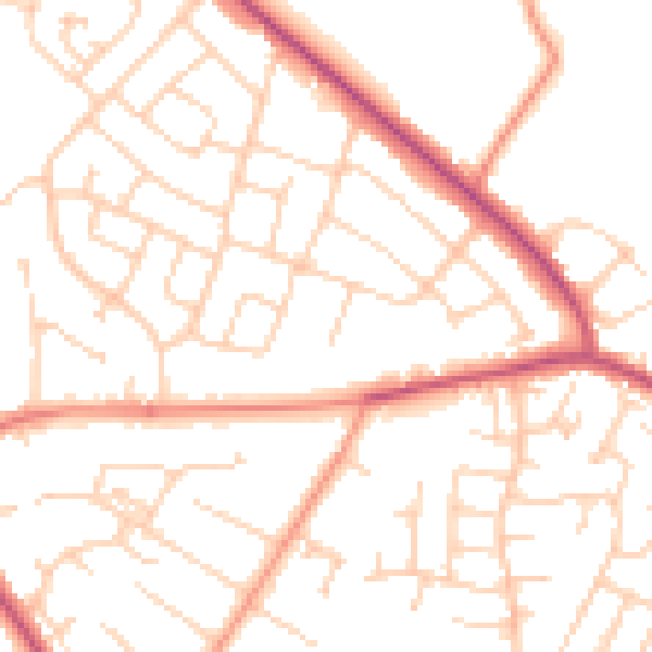
Daytime· 07:00 – 23:00
50.7dB

Night-time· 23:00 – 07:00
39.8dB