8 Grange Farm Rise, Aston, Sheffield, S26 2AF
About 8 Grange Farm Rise
8 Grange Farm Rise is a four-bedroom detached house in Aston, Sheffield, Sheffield (S26 2AF). It has a recorded floor area of 114 m² (around 1227 sq ft). The latest certificate (August 2017) shows a C (score 79), near the top of the C band. The recommended improvements would push it to B (score 89).
9 years since the last transfer (August 2017). Today's modelled estimate of £365,000 is 35.2% above the 2017 sale price.
What this property has
Inside
- Bedrooms4
- Bathrooms2
- CloakroomYes
- EnsuiteYes
Outside
- GarageYes
Building
- Heating systemGas
Everything you need to know about 8 Grange Farm Rise
The true value, the hidden risks and the full sale history, in one report.
30-day money-back guarantee

The data behind every report


Energy performance
EPC Rating
Planning history
8 Grange Farm Rise has no planning applications on record.
The full report still covers planning activity across the surrounding area.
Sales history & valuation
8 Grange Farm Rise valuation sits well clear of the typical sold price in this postcode.
£365,000
Modelled from EPC, postcode comparables.
£269,950
Recorded with HM Land Registry.
Sales timeline
10 August 2017Most recent
£269,950
Median price across the last 5 sales in S26 2AF: £279,950 (2021–2016).
Nearby sales in S26 2AF
2 Grange Farm Rise, Aston, Sheffield, S26 2AF
Sold Feb 2021
£355,0006 Grange Farm Rise, Aston, Sheffield, S26 2AF
Sold Dec 2016
£274,9501 Grange Farm Rise, Aston, Sheffield, S26 2AF
Sold Oct 2016
£279,9504 Grange Farm Rise, Aston, Sheffield, S26 2AF
Sold Aug 2016
£259,9503 Grange Farm Rise, Aston, Sheffield, S26 2AF
Sold Aug 2016
£289,950
Versus other Grange Farm Rise homes
On price per m², 8 Grange Farm Rise stands well clear of the street.
Price per m²
£2,368
Street avg £2,289
Floor Area
114 m²
Street avg 127 m²
CO₂ Emissions
2.6 t/year
Street avg 3.0 t/year
Years Held
9 years
Street avg 9 years
Everything you need to know about 8 Grange Farm Rise
The true value, the hidden risks and the full sale history, in one report.
30-day money-back guarantee
The data behind every report
Similar properties nearby
1 Christchurch Avenue, Aston
S26 2AW
1 Brook Close, Aston
S26 2GB
1 Grange Farm Drive, Aston
S26 2GY
1 Aylsham Drive, Aston
S26 2FQ
1 Church View, Aston
S26 2FE
1 Aston Forge Court, Aston
S26 2EG
1 Duckham Drive, Aston
S26 2DZ
1 Arlington Avenue, Aston
S26 2AA
The neighbourhood at a glance
Crime
4/mo
Steady year-on-year across the wider district.
Nearest stop
0.4 km
Mansfield Road/Dove Lane — bus stop.
Closest school
0.3 km
Aston Hall Junior and Infant School. 16 schools nearby.
Go deeper on the local area
The full report breaks down crime, transport links, schools and air quality in depth.
Road noise across the postcode
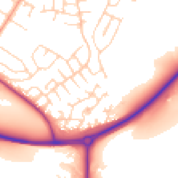
Daytime· 07:00 – 23:00
54.0dB

Night-time· 23:00 – 07:00
45.3dB