17 Ashley Grove, Aston, Sheffield, S26 2AB
About 17 Ashley Grove
17 Ashley Grove is a semi-detached house in Aston, Sheffield, Sheffield (S26 2AB). It has a recorded floor area of 106 m² (around 1141 sq ft), construction records dating it to 1930-1949 and council tax band B. The latest certificate (January 2021) shows a C (score 73). The recommended improvements would push it to B (score 85).
At 106 m² the property is well over the postcode median (70 m² across 34 EPCs), placing it in the larger end of the local stock. Its energy rating outperforms most of the postcode (better than 74% of similar EPCs). Across 1998–2021, sale prices on this property compounded at 8.5% per year. Today's modelled estimate of £233,000 is 25.9% above the 2021 sale price. Most recent transfer: June 2021 at £185,000. That sale was during the post-pandemic price surge, when transactions cleared materially above pre-2020 trend.
Everything you need to know about 17 Ashley Grove
The true value, the hidden risks and the full sale history, in one report.
30-day money-back guarantee

The data behind every report


Energy performance
EPC Rating
Planning history
17 Ashley Grove has no planning applications on record.
The full report still covers planning activity across the surrounding area.
Sales history & valuation
17 Ashley Grove has more than quadrupled in price since its earliest registered sale in 1998.
£233,000
Modelled from EPC, postcode comparables and a sale-price growth of 8.5% per year over 23 years.
£185,000
Growth on file: 8.5% per year over 23 years.
Sales timeline
10 June 2021Most recent
£185,000
+549.1%over 22 years29 June 1998
£28,500
Median price across the last 5 sales in S26 2AB: £175,000 (2025–2023).
Nearby sales in S26 2AB
45 Ashley Grove, Aston, Sheffield, S26 2AB
Sold Sept 2025
£172,00030 Ashley Grove, Aston, Sheffield, S26 2AB
Sold May 2025
£175,00036 Ashley Grove, Aston, Sheffield, S26 2AB
Sold Oct 2024
£200,00033 Ashley Grove, Aston, Sheffield, S26 2AB
Sold Dec 2023
£183,00018 Ashley Grove, Aston, Sheffield, S26 2AB
Sold Oct 2023
£170,000
Versus other Ashley Grove homes
Floor Area for 17 Ashley Grove runs comfortably ahead of the street norm.
Price per m²
£1,745
Street avg £1,813
Floor Area
106 m²
Street avg 69 m²
Habitable Rooms
5 rooms
Street avg 4 rooms
CO₂ Emissions
3.5 t/year
Street avg 3.4 t/year
Everything you need to know about 17 Ashley Grove
The true value, the hidden risks and the full sale history, in one report.
30-day money-back guarantee
The data behind every report
Similar properties nearby
1 Duckham Drive, Aston
S26 2DZ
1 Arlington Avenue, Aston
S26 2AA
1 Bramley Avenue, Aston
S26 2AQ
1 Fairfields Chase, Aston
S26 2HA
1 Eagle View, Aston
S26 2GL
1 Doctors Row, Hepworth Drive, Aston
S26 2GZ
1 Chelmsford Avenue, Aston
S26 2AU
1 Church View, Aston
S26 2FE
The neighbourhood at a glance
Crime
4/mo
Steady year-on-year across the wider district.
Nearest stop
0.2 km
Lodge Lane/Shaldon Grove — bus stop.
Closest school
0.2 km
Aston Lodge Primary School. 12 schools nearby.
Go deeper on the local area
The full report breaks down crime, transport links, schools and air quality in depth.
Road noise across the postcode
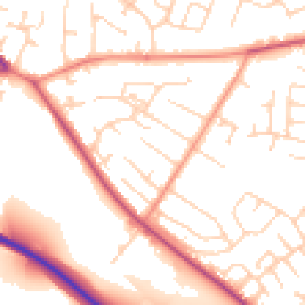
Daytime· 07:00 – 23:00
52.2dB

Night-time· 23:00 – 07:00
42.5dB