8 Rayls Rise, Todwick, Sheffield, S26 1HY
About 8 Rayls Rise
8 Rayls Rise is a two-bedroom detached house in Todwick, Sheffield, Sheffield (S26 1HY). It has a recorded floor area of 76 m² (around 818 sq ft), construction records dating it to 1950-1966 and council tax band C. The latest certificate (October 2014) shows an F (score 36), near the bottom of the EPC scale. The recommended improvements would lift it to B (score 84), a 4-band jump. The latest certificate is from October 2014, so improvements made since then won't be reflected. The home occupies a cul-de-sac position.
It changed hands recently, sold December 2024 for £290,000. Across 2015–2024, sale prices on this property compounded at 6.2% per year. On a £-per-square-foot basis, the last sale (£354/sq ft) was about 57% above the typical sold price in the postcode.
What this property has
Inside
- Bedrooms2
- Bathrooms1
Outside
- ParkingOff road
- Cul-de-sacYes
Building
- RefurbishedYes
Everything you need to know about 8 Rayls Rise
The true value, the hidden risks and the full sale history, in one report.
30-day money-back guarantee

The data behind every report


Energy performance
8 Rayls Rise's carbon output runs well above what efficient homes in the postcode produce.
EPC Expired
This certificate is over 10 years old and is no longer valid.Expired 08 Oct 2024
EPC Rating
Planning history
8 Rayls Rise has no planning applications on record.
The full report still covers planning activity across the surrounding area.
Sales history & valuation
£300,000
Modelled from EPC, postcode comparables and a sale-price growth of 6.2% per year over 10 years.
£290,000
Growth on file: 6.2% per year over 10 years.
Sales timeline
18 December 2024Most recent
£290,000
+81.3%over 9 years20 February 2015
£160,000
Median price across the last 5 sales in S26 1HY: £232,500 (2025–2003).
Everything you need to know about 8 Rayls Rise
The true value, the hidden risks and the full sale history, in one report.
30-day money-back guarantee
The data behind every report
Similar properties nearby
1 Staniforth Crescent, Todwick
S26 1JD
1 Mortains, Todwick
S26 1HU
1 Roche End, Todwick
S26 1JA
1 Osborne Drive, Todwick
S26 1HW
1 Goosecarr Lane, Todwick
S26 1HG
1 Manor Close, Todwick
S26 1HP
1 Paddock View, Todwick
S26 1JY
1 Mill Close, Todwick
S26 1HS
The neighbourhood at a glance
Daytime road noise here sits well below conversation level — a quiet pocket of the postcode.
Crime
4/mo
Steady year-on-year across the wider district.
Nearest stop
0.3 km
Kiveton Lane/Manor Way — bus stop.
Closest school
0.4 km
Todwick Primary School. 10 schools nearby.
Go deeper on the local area
The full report breaks down crime, transport links, schools and air quality in depth.
Road noise across the postcode
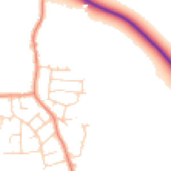
Daytime· 07:00 – 23:00
49.4dB

Night-time· 23:00 – 07:00
41.5dB