5a, Old Whittington Lane, Unstone, Dronfield, S18 4DR
About 5a
5a is a semi-detached house in Unstone, Dronfield, Dronfield (S18 4DR). It has a recorded floor area of 72 m² (around 775 sq ft), construction records dating it to 1900-1929 and council tax band B. The latest certificate (August 2014) shows a D (score 67), on the cusp of jumping into the C band. The recommended improvements would lift it to B (score 86), a 2-band jump. The latest certificate is from August 2014, so improvements made since then won't be reflected.
It hasn't traded since February 2006, a hold of 20 years that's notably long for the area. At 72 m² it's 18% larger than the typical home in the postcode (61 m² median across 23 EPCs). Across 1997–2006, sale prices on this property compounded at 15.5% per year. Today's modelled estimate of £198,000 is 47.8% above the 2006 sale price.
Know exactly what you're buying at 5a
Before you offer, see what the listing won't tell you, the true value, the red flags and the full history.
Valuation
against the asking price
Risks
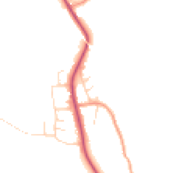
planning & flood
Sold prices
similar homes nearby
Trends
the local market
Energy performance
Recommended upgrades on file would lift this property by multiple EPC bands.
EPC Expired
This certificate is over 10 years old and is no longer valid.Expired 27 Aug 2024
EPC Rating
Planning history
5a has no planning applications on record.
The full report still covers planning activity across the surrounding area.
Sales history & valuation
5a has more than tripled in price since its earliest registered sale in 1997.
£198,000
Modelled from EPC, postcode comparables and a sale-price growth of 15.5% per year over 9 years.
£134,000
Growth on file: 15.5% per year over 9 years.
Sales timeline
24 February 2006Most recent
£134,000
+94.2%over 4 years9 November 2001
£69,000
+79.2%over 4 years26 June 1997
£38,500
Median price across the last 5 sales in S18 4DR: £140,000 (2022–2015).
Nearby sales in S18 4DR
11 Old Whittington Lane, Unstone, Dronfield, S18 4DR
Sold Aug 2022
£150,00014 Old Whittington Lane, Unstone, Dronfield, S18 4DR
Sold Mar 2021
£140,0001 Old Whittington Lane, Unstone, Dronfield, S18 4DR
Sold Nov 2019
£175,50013 Old Whittington Lane, Unstone, Dronfield, S18 4DR
Sold Oct 2015
£137,0005 Old Whittington Lane, Unstone, Dronfield, S18 4DR
Sold Feb 2015
£123,000
Everything we know about 5a, in one report
What it's really worth, what could be wrong, and the planning, sales and area data in full.
- Am I paying too much?
- Is something wrong with it?
- Is the agent's story true?
- Will it hold its value?

Versus other Old Whittington Lane homes
On years held, 5a stands well clear of the street.
Price per m²
£1,861
Street avg £1,704
Floor Area
72 m²
Street avg 80 m²
Habitable Rooms
5 rooms
Street avg 4 rooms
CO₂ Emissions
2.6 t/year
Street avg 3.5 t/year
Similar properties nearby
1 Sylvia Road, Unstone
S18 4DP
1 Robert Close, Unstone
S18 4DJ
1 St Johns Road, Unstone
S18 4AH
1 Birch Holt Grove, Unstone
S18 4DH
10 Birch Holt Grove, Unstone
S18 4DH
1 Moorland View, Apperknowle
S18 4BL
1 Old Whittington Lane, Unstone
S18 4DR
1 North Close, Unstone
S18 4DX
The neighbourhood at a glance
Daytime road noise here sits well below conversation level — a quiet pocket of the postcode.
Crime
5/mo
Steady year-on-year across the wider district.
Nearest stop
0.1 km
Loundes Road — bus stop.
Closest school
0.5 km
Unstone Junior School. 13 schools nearby.
Go deeper on the local area
The full report breaks down crime, transport links, schools and air quality in depth.
Road noise across the postcode
Daytime· 07:00 – 23:00
44.9dB
Night-time· 23:00 – 07:00
37.6dB