18 Stainton Road, Sheffield, S11 7AX
About 18 Stainton Road
18 Stainton Road is a mid-terrace house in Sheffield (S11 7AX). It has a recorded floor area of 110 m² (around 1184 sq ft), construction records dating it to 1900-1929 and council tax band C. The latest certificate (October 2018) shows an E (score 52), well below the UK norm with real room to improve. The recommended improvements would lift it to C (score 80), a 2-band jump.
Untraded for 28 years, with the last transfer in November 1998. Only one transfer is on record with HM Land Registry, suggesting it has stayed in the same hands for a long time. Today's modelled estimate of £352,000 sits 491.6% above the 1998 sale of £59,500. On a £-per-square-foot basis, the last sale (£50/sq ft) was about 72.2% below the postcode norm.
Know exactly what you're buying at 18 Stainton Road
Before you offer, see what the listing won't tell you, the true value, the red flags and the full history.
Launch offer · save £5
Valuation
against the asking price
Risks
planning & flood
Sold prices
similar homes nearby
Trends
the local market
Energy performance
18 Stainton Road's carbon output runs well above what efficient homes in the postcode produce.
EPC Rating
Planning history
18 Stainton Road has no planning applications on record.
Notable planning nearby
1applications of note in the surrounding area
Sales history & valuation
Latest sale on 18 Stainton Road was the lowest on Land Registry record across the postcode.
£352,000
Modelled from EPC, postcode comparables.
£59,500
Recorded with HM Land Registry.
Sales timeline
27 November 1998Most recent
£59,500
Median price across the last 5 sales in S11 7AX: £405,000 (2025–2023).
Nearby sales in S11 7AX
Everything we know about 18 Stainton Road, in one report
What it's really worth, what could be wrong, and the planning, sales and area data in full.
- Am I paying too much?
- Is something wrong with it?
- Is the agent's story true?
- Will it hold its value?

Versus other Stainton Road homes
On price per m², 18 Stainton Road runs well behind the street norm.
Price per m²
£541
Street avg £2,755
Floor Area
110 m²
Street avg 129 m²
Habitable Rooms
5 rooms
Street avg 6 rooms
CO₂ Emissions
6.8 t/year
Street avg 7.0 t/year
Similar properties nearby
The neighbourhood at a glance
Crime
2/mo
Steady year-on-year across the wider district.
Nearest stop
0.1 km
Rustlings Road/Peveril Road — bus stop.
Closest school
0.4 km
Greystones Primary School. 33 schools nearby.
Go deeper on the local area
The full report breaks down crime, transport links, schools and air quality in depth.
Road noise across the postcode
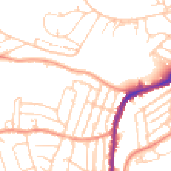
Daytime· 07:00 – 23:00
50.1dB

Night-time· 23:00 – 07:00
39.7dB