6 Peveril Road, Sheffield, S11 7AP
About 6 Peveril Road
6 Peveril Road is an end-of-terrace house in Sheffield (S11 7AP). It has a recorded floor area of 85 m² (around 915 sq ft), construction records dating it to 1900-1929 and council tax band B. The latest certificate (November 2022) shows a D (score 61), on the cusp of jumping into the C band. The recommended improvements would lift it to B (score 84), a 2-band jump.
Held since September 2007 — that's 19 years off the open market, well above the local norm. That sale landed at the peak of the pre-credit-crunch market, which is a useful reference point when interpreting the price. Today's modelled estimate of £299,000 sits 99.3% above the 2007 sale of £150,000. At 85 m² it's 22.4% smaller than the typical home in the postcode (110 m² median across 36 EPCs).
Know exactly what you're buying at 6 Peveril Road
Before you offer, see what the listing won't tell you, the true value, the red flags and the full history.
Launch offer · save £5
Valuation
against the asking price
Risks
planning & flood
Sold prices
similar homes nearby
Trends
the local market
Energy performance
Recommended upgrades on file would lift this property by multiple EPC bands.
EPC Rating
Planning history
6 Peveril Road has no planning applications on record.
Notable planning nearby
1applications of note in the surrounding area
Sales history & valuation
The latest sale landed at the peak of the pre-credit-crunch market — a high-water reference point.
£299,000
Modelled from EPC, postcode comparables.
£150,000
Recorded with HM Land Registry.
Sales timeline
27 September 2007Most recent
£150,000
Median price across the last 5 sales in S11 7AP: £329,000 (2025–2024).
Nearby sales in S11 7AP
Everything we know about 6 Peveril Road, in one report
What it's really worth, what could be wrong, and the planning, sales and area data in full.
- Am I paying too much?
- Is something wrong with it?
- Is the agent's story true?
- Will it hold its value?

Versus other Peveril Road homes
6 Peveril Road outperforms the street on co₂ emissions by a wide margin.
Price per m²
£1,765
Street avg £2,449
Floor Area
85 m²
Street avg 111 m²
Habitable Rooms
5 rooms
Street avg 6 rooms
CO₂ Emissions
4.4 t/year
Street avg 6.7 t/year
Similar properties nearby
The neighbourhood at a glance
Crime
2/mo
Steady year-on-year across the wider district.
Nearest stop
0.2 km
Ecclesall Road/Carrington Road — bus stop.
Closest school
0.4 km
Greystones Primary School. 33 schools nearby.
Go deeper on the local area
The full report breaks down crime, transport links, schools and air quality in depth.
Road noise across the postcode
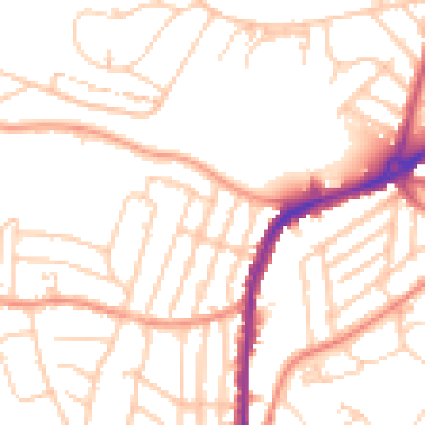
Daytime· 07:00 – 23:00
51.0dB
Night-time· 23:00 – 07:00
40.4dB