24 Ranby Road, Sheffield, S11 7AJ
About 24 Ranby Road
24 Ranby Road is a mid-terrace house in Sheffield (S11 7AJ). It has a recorded floor area of 90 m² (around 969 sq ft), construction records dating it to 1900-1929 and council tax band B. The latest certificate (December 2022) shows a D (score 59), a step below the typical UK home. The rating has held steady at D across 3 certificates since September 2012. Between certificates, window efficiency went from Poor to Good. The recommended improvements would lift it to B (score 87), a 2-band jump.
Today's modelled estimate of £337,000 sits 82.2% above the 2024 sale of £185,000. Sold July 2024 for £185,000.
Know exactly what you're buying at 24 Ranby Road
Before you offer, see what the listing won't tell you, the true value, the red flags and the full history.
Launch offer · save £5
Valuation
against the asking price
Risks
planning & flood
Sold prices
similar homes nearby
Trends
the local market
Energy performance
Recommended upgrades on file would lift this property by multiple EPC bands.
EPC Rating
Property Improvements
Changes detected from historical EPC data
Windows upgraded, improving insulation
Planning history
24 Ranby Road has no planning applications on record.
Notable planning nearby
1applications of note in the surrounding area
Sales history & valuation
24 Ranby Road valuation sits well clear of the typical sold price in this postcode.
£337,000
Modelled from EPC, postcode comparables.
£185,000
Recorded with HM Land Registry.
Sales timeline
18 July 2024Most recent
£185,000
Median price across the last 5 sales in S11 7AJ: £370,000 (2025–2024).
Everything we know about 24 Ranby Road, in one report
What it's really worth, what could be wrong, and the planning, sales and area data in full.
- Am I paying too much?
- Is something wrong with it?
- Is the agent's story true?
- Will it hold its value?

Versus other Ranby Road homes
On years held, 24 Ranby Road runs well behind the street norm.
Price per m²
£2,056
Street avg £3,087
Floor Area
90 m²
Street avg 95 m²
Habitable Rooms
5 rooms
Street avg 5 rooms
CO₂ Emissions
5.0 t/year
Street avg 5.6 t/year
Similar properties nearby
The neighbourhood at a glance
Crime
2/mo
Steady year-on-year across the wider district.
Nearest stop
0.1 km
Ecclesall Road/Carrington Road — bus stop.
Closest school
0.4 km
Greystones Primary School. 33 schools nearby.
Go deeper on the local area
The full report breaks down crime, transport links, schools and air quality in depth.
Road noise across the postcode
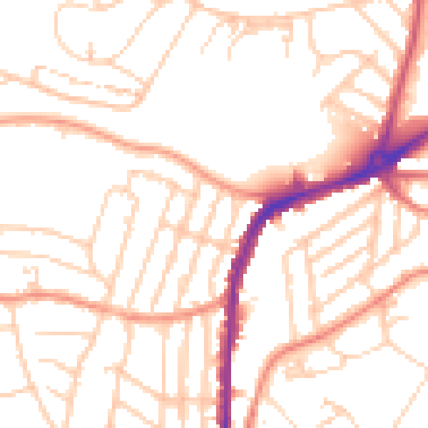
Daytime· 07:00 – 23:00
51.3dB

Night-time· 23:00 – 07:00
40.6dB