14 Birchen Close, Woodcote, Reading, RG8 0SW
About 14 Birchen Close
14 Birchen Close is a property in Woodcote, Reading, Reading (RG8 0SW). It has council tax band E.
It hasn't traded since August 1998, a hold of 28 years that's notably long for the area. Across 1997–1998, sale prices on this property compounded at -3.3% per year.
Everything you need to know about 14 Birchen Close
The true value, the hidden risks and the full sale history, in one report.
30-day money-back guarantee

The data behind every report


Energy performance
No EPC on record
This property doesn't have an Energy Performance Certificate yet. An EPC is required to sell or let — and unlocks our automated valuation.
Planning history
14 Birchen Close has no planning applications on record.
Notable planning nearby
3applications of note in the surrounding area
We flagged 1 thing worth checking at 14 Birchen Close
Independent checks surfaced things a buyer would want to understand before offering. The report explains each one in full, with the underlying data and what to ask.
- Larger development activity nearby
30-day money-back guarantee
Sales history & valuation
Latest sale on 14 Birchen Close was the lowest on Land Registry record across the postcode.
£135,000
Growth on file: -3.3% per year over 1 year.
Sales timeline
20 August 1998Most recent
£135,000
-3.6%over 1 year23 July 1997
£140,000
Median price across the last 5 sales in RG8 0SW: £485,000 (2024–2017).
Nearby sales in RG8 0SW
8 Birchen Close, Woodcote, Reading, RG8 0SW
Sold Oct 2024
£475,00010 Birchen Close, Woodcote, Reading, RG8 0SW
Sold Jul 2023
£540,0001 Birchen Close, Woodcote, Reading, RG8 0SW
Sold Dec 2021
£600,0003 Birchen Close, Woodcote, Reading, RG8 0SW
Sold Jan 2017
£485,0005 Birchen Close, Woodcote, Reading, RG8 0SW
Sold Nov 2014
£463,000
Everything you need to know about 14 Birchen Close
The true value, the hidden risks and the full sale history, in one report.
30-day money-back guarantee
The data behind every report
Similar properties nearby
1 2 Grove Farm Cottages, Goring
RG8 0LU
1 Ash Hurst, Goring
RG8 0DQ
1 Ashlee Walk, Woodcote
RG8 0SF
1 Baldons Close, Woodcote
RG8 0SQ
1 Barr Pond Cottages, Ferry Road, South Stoke
RG8 0JP
1 Beckley Close, Woodcote
RG8 0SZ
1 Beech Farm Cottages, Beech Lane, Woodcote
RG8 0QB
1 Beeson Close, Woodcote
RG8 0UZ
The neighbourhood at a glance
Daytime road noise here sits well below conversation level — a quiet pocket of the postcode.
Crime
2/mo
Steady year-on-year across the wider district.
Nearest stop
0.3 km
West Chiltern — bus stop.
Closest school
0.4 km
Langtree School. 3 schools nearby.
Go deeper on the local area
The full report breaks down crime, transport links, schools and air quality in depth.
Road noise across the postcode
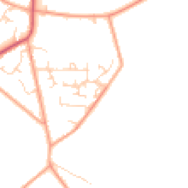
Daytime· 07:00 – 23:00
46.1dB

Night-time· 23:00 – 07:00
37.5dB