Brunel House, Flat 2, Pound Lane, Thatcham, RG19 3SU
About Brunel House
Brunel House is a two-bedroom semi-detached house in Thatcham (RG19 3SU). It has a recorded floor area of 51 m² (around 549 sq ft), construction records dating it to 2003-2006 and council tax band C. The latest certificate (October 2024) shows a C (score 75), near the top of the C band. Earlier certificates rated it B (April 2011); the latest reading is one band lower. Between certificates, hot-water efficiency dropped from Very Good to Good and main heating dropped from Very Good to Good.
At 51 m² it's 29.1% larger than the typical home in the postcode (40 m² median across 12 EPCs). Last changed hands 10 years ago, in December 2015. Across 2007–2015, sale prices on this property compounded at 1% per year. Today's modelled estimate of £227,000 is 26.1% above the 2015 sale price.
Know exactly what you're buying at Brunel House
Before you offer, see what the listing won't tell you, the true value, the red flags and the full history.
Already flagged here
Valuation
against the asking price
Risks
planning & flood
Sold prices
similar homes nearby
Trends
the local market
What this property has
Inside
- Bedrooms2
Outside
- Communal gardenYes
- ParkingAllocated
Energy performance
Brunel House's carbon output is low for the local stock.
EPC Rating
Planning history
Brunel House has no planning applications on record.
Notable planning nearby
1applications of note in the surrounding area
We flagged 1 thing worth checking at Brunel House
Independent checks surfaced things a buyer would want to understand before offering. The report explains each one in full, with the underlying data and what to ask.
- Larger development activity nearby
30-day money-back guarantee
Sales history & valuation
Brunel House valuation sits well clear of the typical sold price in this postcode.
£227,000
Modelled from EPC, postcode comparables and a sale-price growth of 1.0% per year over 8 years.
£180,000
Growth on file: 1.0% per year over 8 years.
Sales timeline
23 December 2015Most recent
£180,000
+8.4%over 8 years16 November 2007
£166,000
Median price across the last 5 sales in RG19 3SU: £146,000 (2025–2018).
Nearby sales in RG19 3SU
Brunel House, Flat 3, Pound Lane, Thatcham, RG19 3SU
Sold Jan 2025
£200,000Brunel House, Flat 8, Pound Lane, Thatcham, RG19 3SU
Sold Nov 2024
£145,000Brunel House, Flat 6, Pound Lane, Thatcham, RG19 3SU
Sold Jul 2024
£146,000Brunel House, Flat 7, Pound Lane, Thatcham, RG19 3SU
Sold Dec 2018
£162,500Brunel House, Flat 15, Pound Lane, Thatcham, RG19 3SU
Sold Oct 2016
£192,500
Everything we know about Brunel House, in one report
What it's really worth, what could be wrong, and the planning, sales and area data in full.
What we flagged
- Larger development activity nearby

Versus other Pound Lane homes
On epc rating, Brunel House runs well behind the street norm.
Price per m²
£3,529
Street avg £3,740
Floor Area
51 m²
Street avg 41 m²
Habitable Rooms
3 rooms
Street avg 2 rooms
CO₂ Emissions
1.4 t/year
Street avg 1.0 t/year
Similar properties nearby
Brunel House, Flat 3, Pound Lane
RG19 3SU
Crown House, Flat 4, 36 High Street
RG19 3JH
Brunel House, Flat 15, Pound Lane
RG19 3SU
Brunel House, Flat 9, Pound Lane
RG19 3SU
Brunel House, Flat 5, Pound Lane
RG19 3SU
Brunel House, Flat 12, Pound Lane
RG19 3SU
Elizabeth House, Flat 14, 29 High Street
RG19 3JG
Brunel House, Flat 4, Pound Lane
RG19 3SU
The neighbourhood at a glance
Daytime road noise here sits well below conversation level — a quiet pocket of the postcode.
Crime
3/mo
Steady year-on-year across the wider district.
Nearest stop
0.1 km
Prince Hold Road — bus stop.
Closest school
0.4 km
Parsons Down Junior School. 14 schools nearby.
Go deeper on the local area
The full report breaks down crime, transport links, schools and air quality in depth.
Road noise across the postcode
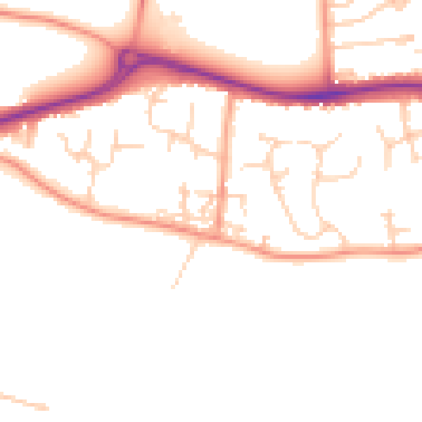
Daytime· 07:00 – 23:00
49.4dB

Night-time· 23:00 – 07:00
40.0dB