10 Church Walk, Ribbleton, Preston, PR2 6SZ
About 10 Church Walk
10 Church Walk is a four-bedroom property in Ribbleton, Preston, Preston (PR2 6SZ). It has council tax band D. Other recorded features include a conservatory.
Untraded for 24 years, with the last transfer in December 2001. One planning record on file: an extension approved in 2023. Past consents include an extension, meaningful when judging how the property has evolved.
Know exactly what you're buying at 10 Church Walk
Before you offer, see what the listing won't tell you, the true value, the red flags and the full history.
Already flagged here
Valuation
against the asking price
Risks
planning & flood
Sold prices
similar homes nearby
Trends
the local market
What this property has
Inside
- Bedrooms4
- Dining roomYes
- EnsuiteYes
- ConservatoryYes
Outside
- Private gardenFront and rear
- GarageSingle
Building
- Heating systemGas
- RefurbishedYes
Energy performance
No EPC on record
This property doesn't have an Energy Performance Certificate yet. An EPC is required to sell or let — and unlocks our automated valuation.
Planning history
10 Church Walk has an approved single-storey rear extension on the planning record.
- Oct 2023ExtensionOutlineIn report
Extension: Single storey · Rear of property
Certificate of lawfulness for proposed single storey rear extension
- Documents
- 5 docs on file
- Reference
- 06/2023/1021
We flagged 1 thing worth checking at 10 Church Walk
Independent checks surfaced things a buyer would want to understand before offering. The report explains each one in full, with the underlying data and what to ask.
- Larger development activity nearby
30-day money-back guarantee
Sales history & valuation
£116,950
Recorded with HM Land Registry.
Sales timeline
7 December 2001Most recent
£116,950
Median price across the last 5 sales in PR2 6SZ: £275,000 (2025–2022).
Nearby sales in PR2 6SZ
22 Church Walk, Ribbleton, Preston, PR2 6SZ
Sold Sept 2025
£275,00020 Church Walk, Ribbleton, Preston, PR2 6SZ
Sold Mar 2025
£280,00019 Church Walk, Ribbleton, Preston, PR2 6SZ
Sold Aug 2024
£290,0005 Church Walk, Ribbleton, Preston, PR2 6SZ
Sold Aug 2022
£263,00017 Church Walk, Ribbleton, Preston, PR2 6SZ
Sold Apr 2022
£230,000
Everything we know about 10 Church Walk, in one report
What it's really worth, what could be wrong, and the planning, sales and area data in full.
What we flagged
- Larger development activity nearby

Similar properties nearby
1 Badgers Croft, Ribbleton
PR2 6NW
1 Burwood Drive, Ribbleton
PR2 6YR
1 Arnold Close, Ribbleton
PR2 6DX
1 Braefield Crescent, Ribbleton
PR2 6ND
1 Burholme Close, Ribbleton
PR2 6HQ
1 Benton Road, Ribbleton
PR2 6UL
1 Boilton Court, Ribbleton
PR2 6HF
1 Belmont Close, Ribbleton
PR2 6DD
The neighbourhood at a glance
Crime
6/mo
Steady year-on-year across the wider district.
Nearest stop
0.2 km
Fulwood Row — bus stop.
Closest school
0.1 km
St Maria Goretti Catholic Primary School, Preston. 26 schools nearby.
Go deeper on the local area
The full report breaks down crime, transport links, schools and air quality in depth.
Road noise across the postcode
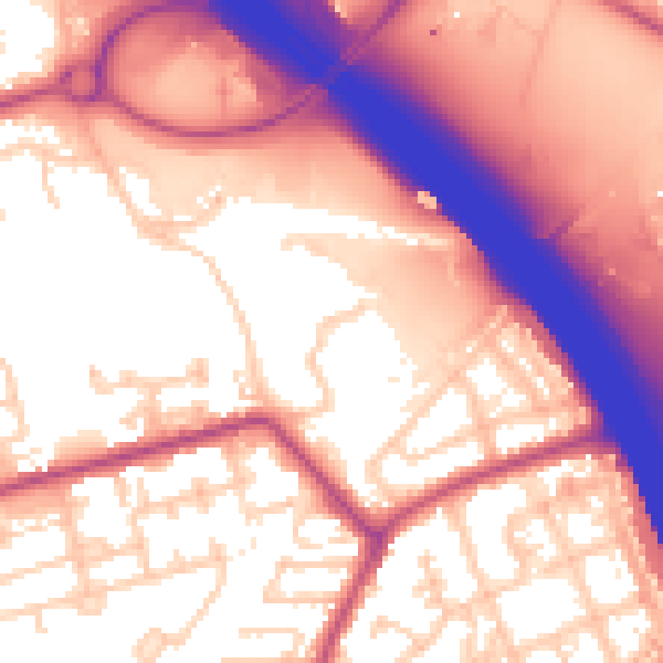
Daytime· 07:00 – 23:00
58.7dB
Night-time· 23:00 – 07:00
49.5dB