4 Badgers Croft, Ribbleton, Preston, PR2 6NW
About 4 Badgers Croft
4 Badgers Croft is a property in Ribbleton, Preston, Preston (PR2 6NW). It has council tax band C.
Untraded for 27 years, with the last transfer in September 1999.
Know exactly what you're buying at 4 Badgers Croft
Before you offer, see what the listing won't tell you, the true value, the red flags and the full history.
Already flagged here
Valuation
against the asking price
Risks
planning & flood
Sold prices
similar homes nearby
Trends
the local market
Energy performance
No EPC on record
This property doesn't have an Energy Performance Certificate yet. An EPC is required to sell or let — and unlocks our automated valuation.
Planning history
4 Badgers Croft has no planning applications on record.
Notable planning nearby
4applications of note in the surrounding area
We flagged 1 thing worth checking at 4 Badgers Croft
Independent checks surfaced things a buyer would want to understand before offering. The report explains each one in full, with the underlying data and what to ask.
- Larger development activity nearby
30-day money-back guarantee
Sales history & valuation
£49,950
Recorded with HM Land Registry.
Sales timeline
2 September 1999Most recent
£49,950
28 September 1995
£49,995
Median price across the last 5 sales in PR2 6NW: £132,950 (2023–2019).
Nearby sales in PR2 6NW
1 Badgers Croft, Ribbleton, Preston, PR2 6NW
Sold Feb 2023
£100,00011 Badgers Croft, Ribbleton, Preston, PR2 6NW
Sold Sept 2021
£175,00019 Badgers Croft, Ribbleton, Preston, PR2 6NW
Sold Mar 2021
£148,00013 Badgers Croft, Ribbleton, Preston, PR2 6NW
Sold Aug 2014
£143,00016 Badgers Croft, Ribbleton, Preston, PR2 6NW
Sold Aug 2011
£70,000
Everything we know about 4 Badgers Croft, in one report
What it's really worth, what could be wrong, and the planning, sales and area data in full.
What we flagged
- Larger development activity nearby

Similar properties nearby
1 Acacia Road, Ribbleton
PR2 6NQ
1 Acer Grove, Ribbleton
PR2 6EZ
1 Ambleside Road, Ribbleton
PR2 6QU
1 Ambleside Walk, Ribbleton
PR2 6SE
1 Arnold Close, Ribbleton
PR2 6DX
1 Badgers Croft, Ribbleton
PR2 6NW
1 Barden Place, Ribbleton
PR2 6TN
1 Bay Road, Ribbleton
PR2 6NN
The neighbourhood at a glance
Crime
6/mo
Steady year-on-year across the wider district.
Nearest stop
0.3 km
The Green — bus stop.
Closest school
0.4 km
Brockholes Wood Community Primary School and Nursery. 30 schools nearby.
Go deeper on the local area
The full report breaks down crime, transport links, schools and air quality in depth.
Road noise across the postcode
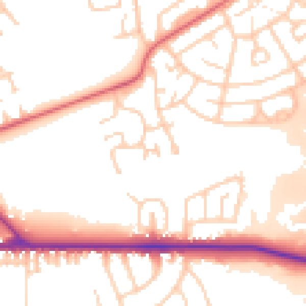
Daytime· 07:00 – 23:00
52.9dB

Night-time· 23:00 – 07:00
44.0dB