14 Burnside Avenue, Ribbleton, Preston, PR2 6LT
About 14 Burnside Avenue
14 Burnside Avenue is a property in Ribbleton, Preston, Preston (PR2 6LT). It has council tax band B.
It hasn't traded since October 1999, a hold of 27 years that's notably long for the area. Only one transfer is on record with HM Land Registry, suggesting it has stayed in the same hands for a long time. One planning record on file: an extension approved in 2006. Past consents include an extension and partial demolition, meaningful when judging how the property has evolved.
Know exactly what you're buying at 14 Burnside Avenue
Before you offer, see what the listing won't tell you, the true value, the red flags and the full history.
Already flagged here
Valuation
against the asking price
Risks
planning & flood
Sold prices
similar homes nearby
Trends
the local market
Energy performance
No EPC on record
This property doesn't have an Energy Performance Certificate yet. An EPC is required to sell or let — and unlocks our automated valuation.
Planning history
Planning history includes recorded demolition works, indicating a major rebuild phase at this address.
- Aug 2006DemolitionFullIn report
Extension: Two storey · Side of property
Erection of two storey extension to side of dwelling (following demolition of existing attached garage).
Extension- Reference
- 06/2006/0622
We flagged 1 thing worth checking at 14 Burnside Avenue
Independent checks surfaced things a buyer would want to understand before offering. The report explains each one in full, with the underlying data and what to ask.
- Larger development activity nearby
30-day money-back guarantee
Sales history & valuation
14 Burnside Avenue has been held in the same hands since before 2000.
£44,500
Recorded with HM Land Registry.
Sales timeline
12 October 1999Most recent
£44,500
Median price across the last 5 sales in PR2 6LT: £131,666 (2025–2018).
Nearby sales in PR2 6LT
7 Burnside Avenue, Ribbleton, Preston, PR2 6LT
Sold Mar 2025
£225,0004 Burnside Avenue, Ribbleton, Preston, PR2 6LT
Sold Aug 2021
£135,0005 Burnside Avenue, Ribbleton, Preston, PR2 6LT
Sold Jul 2021
£120,00011 Burnside Avenue, Ribbleton, Preston, PR2 6LT
Sold Sept 2018
£130,0002 Burnside Avenue, Ribbleton, Preston, PR2 6LT
Sold Feb 2016
£122,500
Everything we know about 14 Burnside Avenue, in one report
What it's really worth, what could be wrong, and the planning, sales and area data in full.
What we flagged
- Larger development activity nearby

Similar properties nearby
1 Acacia Road, Ribbleton
PR2 6NQ
1 Acer Grove, Ribbleton
PR2 6EZ
1 Ambleside Road, Ribbleton
PR2 6QU
1 Ambleside Walk, Ribbleton
PR2 6SE
1 Arnold Close, Ribbleton
PR2 6DX
1 Badgers Croft, Ribbleton
PR2 6NW
1 Barden Place, Ribbleton
PR2 6TN
1 Bay Road, Ribbleton
PR2 6NN
The neighbourhood at a glance
Crime
6/mo
Steady year-on-year across the wider district.
Nearest stop
0.1 km
Ribble Lodge — bus stop.
Closest school
0.2 km
The Blessed Sacrament Catholic Primary School, Preston. 28 schools nearby.
Go deeper on the local area
The full report breaks down crime, transport links, schools and air quality in depth.
Road noise across the postcode
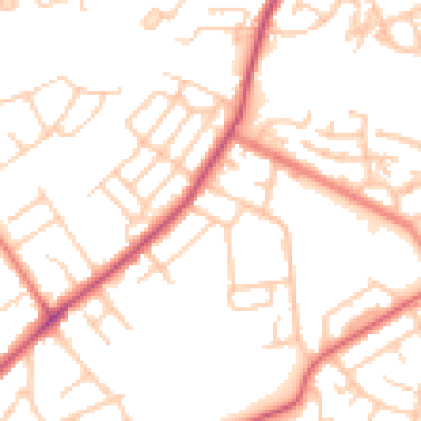
Daytime· 07:00 – 23:00
51.6dB

Night-time· 23:00 – 07:00
41.5dB