1 Cardigan Street, Ashton On Ribble, Preston, PR2 2AS
About 1 Cardigan Street
1 Cardigan Street is a property in Ashton-On-Ribble, Preston, Preston (PR2 2AS). It has council tax band A.
Energy performance
No EPC on record
This property doesn't have an Energy Performance Certificate yet. An EPC is required to sell or let — and unlocks our automated valuation.
Planning history
No planning applications are recorded against 1 Cardigan Street, Ashton On Ribble, Preston, PR2 2AS. The full report also covers planning activity across the surrounding area.
Sales history & valuation
No sales recorded with HM Land Registry
That can mean the property has never traded since the registry began publishing in 1995, was a new build that hasn't been registered yet, or is held in the same hands long-term.
Median price across the last 5 sales in PR2 2AS: £100,000 (2024–2022).
Nearby sales in PR2 2AS
11 Cardigan Street, Ashton On Ribble, Preston, PR2 2AS
Sold Feb 2024
£90,00025 Cardigan Street, Ashton On Ribble, Preston, PR2 2AS
Sold Nov 2023
£125,0003 Cardigan Street, Ashton On Ribble, Preston, PR2 2AS
Sold Jul 2023
£100,00043 Cardigan Street, Ashton On Ribble, Preston, PR2 2AS
Sold Jan 2023
£75,00029 Cardigan Street, Ashton On Ribble, Preston, PR2 2AS
Sold Dec 2022
£110,000
Similar properties nearby
1 Abbey Street, Ashton On Ribble
PR2 2QD
1 Ansdell Grove, Ashton On Ribble
PR2 2EX
1 Arnott Road, Ashton On Ribble
PR2 2EB
1 Ashley Mews, Ashton On Ribble
PR2 2DR
1 Atherton Close, Ashton On Ribble
PR2 2AF
1 Balcarres Road, Ashton On Ribble
PR2 2BT
1 Belmont Road, Ashton On Ribble
PR2 2LJ
1 Beverley Close, Ashton On Ribble
PR2 2NP
The neighbourhood at a glance
Crime
6/mo
Steady year-on-year across the wider district.
Nearest stop
0.3 km
Carlton Street — bus stop.
Closest school
0.4 km
The Roebuck School. 48 schools nearby.
Road noise across the postcode
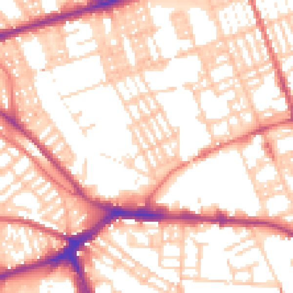
Daytime· 07:00 – 23:00
55.7dB

Night-time· 23:00 – 07:00
43.9dB