2a, Elton Street, Ashton On Ribble, Preston, PR2 1DH
About 2a
2a is an end-of-terrace house in Ashton-On-Ribble, Preston, Preston (PR2 1DH). It has a recorded floor area of 107 m² (around 1152 sq ft) and construction records dating it to before 1900. The latest certificate (February 2017) shows an E (score 49), well below the UK norm with real room to improve. The rating has held steady at E across 3 certificates since February 2015. Between certificates, roof efficiency went from Average to Good; while window efficiency dropped from Good to Average. The recommended improvements would lift it to C (score 78), a 2-band jump.
At 107 m² it's 16.3% larger than the typical home in the postcode (92 m² median across 7 EPCs). It lags the bulk of the postcode on energy efficiency (less efficient than 86% of similar EPCs).
Know exactly what you're buying at 2a
Before you offer, see what the listing won't tell you, the true value, the red flags and the full history.
Already flagged here
Valuation
against the asking price
Risks
planning & flood
Sold prices
similar homes nearby
Trends
the local market
Energy performance
2a's carbon output runs well above what efficient homes in the postcode produce.
EPC Rating
Property Improvements
Changes detected from historical EPC data
Cavity wall insulation installed
Roof insulation improved
Planning history
2a has no planning applications on record.
Notable planning nearby
15applications of note in the surrounding area
We flagged 2 things worth checking at 2a
Independent checks surfaced things a buyer would want to understand before offering. The report explains each one in full, with the underlying data and what to ask.
- Signs of HMO activity in the area
- Larger development activity nearby
30-day money-back guarantee
Sales history & valuation
2a has no Land Registry sales on file, suggesting it has stayed in the same hands since registration began.
£208,000
Modelled from EPC, postcode comparables.
No sales recorded with HM Land Registry
That can mean the property has never traded since the registry began publishing in 1995, was a new build that hasn't been registered yet, or is held in the same hands long-term.
Median price across the last 5 sales in PR2 1DH: £105,000 (2024–2015).
Nearby sales in PR2 1DH
4 Elton Street, Ashton On Ribble, Preston, PR2 1DH
Sold May 2024
£113,0007 Elton Street, Ashton On Ribble, Preston, PR2 1DH
Sold Dec 2019
£103,0006 Elton Street, Ashton On Ribble, Preston, PR2 1DH
Sold Jun 2018
£90,0005 Elton Street, Ashton On Ribble, Preston, PR2 1DH
Sold Nov 2010
£75,5001 Elton Street, Ashton On Ribble, Preston, PR2 1DH
Sold Jun 2006
£116,000
Everything we know about 2a, in one report
What it's really worth, what could be wrong, and the planning, sales and area data in full.
What we flagged
- Signs of HMO activity in the area
- Larger development activity nearby

Versus other Elton Street homes
EPC Rating for 2a lags the street by a wide margin.
EPC Rating
49 (E)
Street avg 65 (D)
Floor Area
107 m²
Street avg 89 m²
CO₂ Emissions
6.4 t/year
Street avg 3.9 t/year
Habitable Rooms
5 rooms
Street avg 5 rooms
Similar properties nearby
1 Ash Meadow, Lea
PR2 1RX
1 Campion Drive, Lea
PR2 1QG
1 Bank Place, Ashton On Ribble
PR2 1DN
1 Aldfield Avenue, Lea
PR2 1XQ
1 Ash Coppice, Lea
PR2 1RY
1 Ashton Bank Way, Ashton On Ribble
PR2 1BZ
1 Bilsborough Meadow, Lea
PR2 1YY
1 Blackthorn Close, Lea
PR2 1RH
The neighbourhood at a glance
Crime
6/mo
Steady year-on-year across the wider district.
Nearest stop
0.2 km
Swansea Street — bus stop.
Closest school
0.1 km
Sacred Heart Catholic Primary School, Preston. 43 schools nearby.
Go deeper on the local area
The full report breaks down crime, transport links, schools and air quality in depth.
Road noise across the postcode
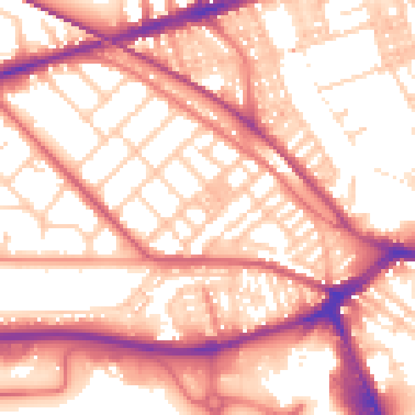
Daytime· 07:00 – 23:00
56.9dB

Night-time· 23:00 – 07:00
46.3dB