16 Swansea Street, Ashton On Ribble, Preston, PR2 1AS
About 16 Swansea Street
16 Swansea Street is an end-of-terrace house in Ashton-On-Ribble, Preston, Preston (PR2 1AS). It has a recorded floor area of 66 m² (around 710 sq ft), construction records dating it to 1930-1949 and council tax band A. The latest certificate (June 2015) shows a D (score 63), on the cusp of jumping into the C band. The recommended improvements would push it to C (score 79). The latest certificate is from June 2015, so improvements made since then won't be reflected.
Know exactly what you're buying at 16 Swansea Street
Before you offer, see what the listing won't tell you, the true value, the red flags and the full history.
Already flagged here
Valuation
against the asking price
Risks
planning & flood
Sold prices
similar homes nearby
Trends
the local market
Energy performance
16 Swansea Street's EPC is over a decade old — improvements since won't be reflected.
EPC Expired
This certificate is over 10 years old and is no longer valid.Expired 03 Jun 2025
EPC Rating
Planning history
16 Swansea Street has no planning applications on record.
Notable planning nearby
15applications of note in the surrounding area
We flagged 2 things worth checking at 16 Swansea Street
Independent checks surfaced things a buyer would want to understand before offering. The report explains each one in full, with the underlying data and what to ask.
- Signs of HMO activity in the area
- Larger development activity nearby
30-day money-back guarantee
Sales history & valuation
16 Swansea Street has no Land Registry sales on file, suggesting it has stayed in the same hands since registration began.
£128,000
Modelled from EPC, postcode comparables.
No sales recorded with HM Land Registry
That can mean the property has never traded since the registry began publishing in 1995, was a new build that hasn't been registered yet, or is held in the same hands long-term.
Median price across the last 5 sales in PR2 1AS: £102,500 (2022–2010).
Nearby sales in PR2 1AS
Everything we know about 16 Swansea Street, in one report
What it's really worth, what could be wrong, and the planning, sales and area data in full.
What we flagged
- Signs of HMO activity in the area
- Larger development activity nearby

Versus other Swansea Street homes
Floor Area for 16 Swansea Street lags the street by a wide margin.
EPC Rating
63 (D)
Street avg 65 (D)
Floor Area
66 m²
Street avg 67 m²
CO₂ Emissions
3.2 t/year
Street avg 3.0 t/year
Habitable Rooms
3 rooms
Street avg 3 rooms
Similar properties nearby
1 Brampton Street, Ashton On Ribble
PR2 1DE
1 Aldcliffe Road, Ashton On Ribble
PR2 1PR
1 Brunswick Place, Ashton On Ribble
PR2 1DJ
1 Ashford Road, Ashton On Ribble
PR2 1UB
1 Birkdale Drive, Ashton On Ribble
PR2 1UL
1 Bartle Place, Ashton On Ribble
PR2 1LS
1 Cartmel Place, Ashton On Ribble
PR2 1TY
1 Ainsdale Drive, Ashton On Ribble
PR2 1TU
The neighbourhood at a glance
Crime
6/mo
Steady year-on-year across the wider district.
Nearest stop
0.1 km
Hull Street — bus stop.
Closest school
0.2 km
Sacred Heart Catholic Primary School, Preston. 44 schools nearby.
Go deeper on the local area
The full report breaks down crime, transport links, schools and air quality in depth.
Road noise across the postcode
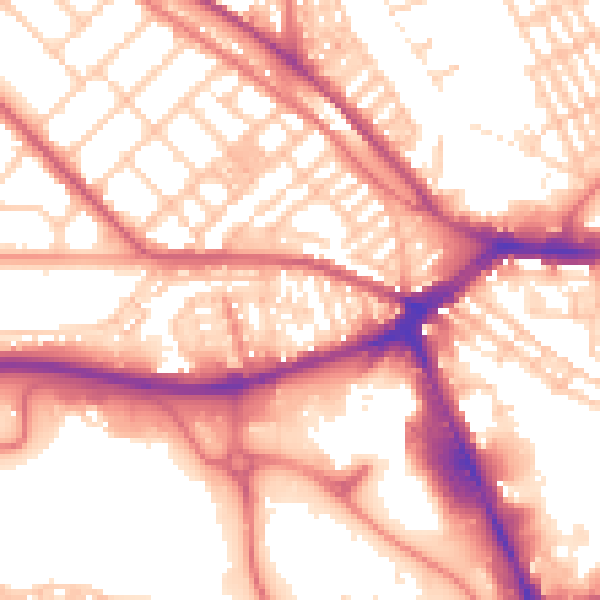
Daytime· 07:00 – 23:00
56.3dB

Night-time· 23:00 – 07:00
45.4dB