17 Beaconsfield Avenue, Portsmouth, PO6 2PS
About 17 Beaconsfield Avenue
17 Beaconsfield Avenue is a mid-terrace house in Portsmouth (PO6 2PS). It has a recorded floor area of 155 m² (around 1668 sq ft), construction records dating it to 1930-1949 and council tax band C. The latest certificate (September 2024) shows a D (score 61), on the cusp of jumping into the C band. The rating has held steady at D across 2 certificates since February 2013. Between certificates, roof efficiency went from Very Poor to Good and lighting went from Average to Very Good; while window efficiency dropped from Good to Average. The recommended improvements would lift it to B (score 81), a 2-band jump.
Across 2013–2021, sale prices on this property compounded at 7.7% per year. Today's modelled estimate of £379,000 is 10.8% below the 2021 sale of £425,000, an unusual pattern given regional price growth and worth checking against the EPC condition. On a £-per-square-foot basis, the last sale (£255/sq ft) was about 24.7% above the typical sold price in the postcode. At 155 m² the property is well over the postcode median (71 m² across 31 EPCs), placing it in the larger end of the local stock. Most recent transfer: October 2021 at £425,000. That sale was during the post-pandemic price surge, when transactions cleared materially above pre-2020 trend.
Know exactly what you're buying at 17 Beaconsfield Avenue
Before you offer, see what the listing won't tell you, the true value, the red flags and the full history.
Already flagged here
Valuation
against the asking price
Risks
planning & flood
Sold prices
similar homes nearby
Trends
the local market
Energy performance
17 Beaconsfield Avenue's carbon output runs well above what efficient homes in the postcode produce.
EPC Rating
Property Improvements
Changes detected from historical EPC data
Heating controls upgraded for better temperature management
Windows upgraded, improving insulation
Roof insulation improved
More low energy lighting installed
Planning history
17 Beaconsfield Avenue has no planning applications on record.
Notable planning nearby
8applications of note in the surrounding area
We flagged 2 things worth checking at 17 Beaconsfield Avenue
Independent checks surfaced things a buyer would want to understand before offering. The report explains each one in full, with the underlying data and what to ask.
- Signs of HMO activity in the area
- Larger development activity nearby
30-day money-back guarantee
Sales history & valuation
Latest sale on 17 Beaconsfield Avenue was the highest on Land Registry record across the postcode.
£379,000
Modelled from EPC, postcode comparables and a sale-price growth of 7.7% per year over 8 years.
£425,000
Growth on file: 7.7% per year over 8 years.
Sales timeline
28 October 2021Most recent
£425,000
+86.4%over 8 years24 June 2013
£228,000
Median price across the last 5 sales in PO6 2PS: £330,000 (2025–2023).
Nearby sales in PO6 2PS
49 Beaconsfield Avenue, Portsmouth, PO6 2PS
Sold Oct 2025
£396,50075a, Beaconsfield Avenue, Portsmouth, PO6 2PS
Sold Feb 2025
£209,99569a, Beaconsfield Avenue, Portsmouth, PO6 2PS
Sold Jun 2024
£200,00023 Beaconsfield Avenue, Portsmouth, PO6 2PS
Sold Dec 2023
£385,00041 Beaconsfield Avenue, Portsmouth, PO6 2PS
Sold Jan 2023
£330,000
Everything we know about 17 Beaconsfield Avenue, in one report
What it's really worth, what could be wrong, and the planning, sales and area data in full.
What we flagged
- Signs of HMO activity in the area
- Larger development activity nearby

Versus other Beaconsfield Avenue homes
17 Beaconsfield Avenue outperforms the street on floor area by a wide margin.
Price per m²
£2,742
Street avg £2,738
Floor Area
155 m²
Street avg 112 m²
Habitable Rooms
6 rooms
Street avg 5 rooms
CO₂ Emissions
6.3 t/year
Street avg 5.5 t/year
Similar properties nearby
1 Dovercourt Road
PO6 2RZ
1 Gofton Avenue, Drayton
PO6 2NG
1 Cranborne Road, Drayton
PO6 2BG
1 Chalkridge Road, Drayton
PO6 2BE
1 Beaconsfield Avenue
PO6 2PS
1 Franklin Close
PO6 2NF
1 Braemar Avenue, Drayton
PO6 2NB
1 Donaldson Road
PO6 2SZ
The neighbourhood at a glance
Rail-style transport is unusually close for this postcode.
Crime
9/mo
Steady year-on-year across the wider district.
Nearest stop
0.2 km
The Salisbury — bus stop.
Closest school
0.1 km
Court Lane Infant Academy. 23 schools nearby.
Go deeper on the local area
The full report breaks down crime, transport links, schools and air quality in depth.
Road noise across the postcode
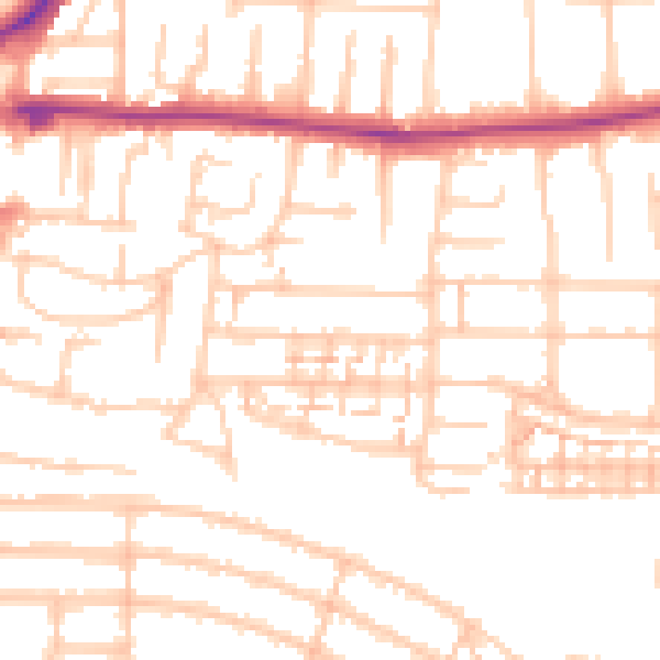
Daytime· 07:00 – 23:00
52.7dB

Night-time· 23:00 – 07:00
42.3dB