37a, Eldon Street, Southsea, PO5 4BS
About 37a
37a is a mid-terrace house in Southsea (PO5 4BS). It has a recorded floor area of 78 m² (around 840 sq ft). The latest certificate (November 2018) shows a C (score 78), near the top of the C band. The recommended improvements would push it to B (score 90).
Today's modelled estimate of £253,000 is 19% below the 2019 sale of £312,500, a rare downward gap that often correlates with deferred maintenance or unfinished works. On a £-per-square-foot basis, the last sale (£372/sq ft) was about 93.3% above the typical sold price in the postcode. Most recent transfer: March 2019 at £312,500.
Know exactly what you're buying at 37a
Before you offer, see what the listing won't tell you, the true value, the red flags and the full history.
Already flagged here
Launch offer · save £5
Valuation
against the asking price
Risks
planning & flood
Sold prices
similar homes nearby
Trends
the local market
Energy performance
EPC Rating
Planning history
37a has no planning applications on record.
Notable planning nearby
18applications of note in the surrounding area
We flagged 2 things worth checking at 37a
Independent checks surfaced things a buyer would want to understand before offering. The report explains each one in full, with the underlying data and what to ask.
- Signs of HMO activity in the area
- Larger development activity nearby
30-day money-back guarantee
Sales history & valuation
37a valuation sits well clear of the typical sold price in this postcode.
£253,000
Modelled from EPC, postcode comparables.
£312,500
Recorded with HM Land Registry.
Sales timeline
22 March 2019Most recent
£312,500
Median price across the last 5 sales in PO5 4BS: £290,000 (2025–2023).
Everything we know about 37a, in one report
What it's really worth, what could be wrong, and the planning, sales and area data in full.
What we flagged
- Signs of HMO activity in the area
- Larger development activity nearby

Versus other Eldon Street homes
EPC Rating for 37a runs comfortably ahead of the street norm.
Price per m²
£4,006
Street avg £2,701
Floor Area
78 m²
Street avg 89 m²
CO₂ Emissions
1.8 t/year
Street avg 2.9 t/year
Years Held
7 years
Street avg 11 years
Similar properties nearby
The neighbourhood at a glance
Rail-style transport is unusually close for this postcode.
Crime
11/mo
Steady year-on-year across the wider district.
Nearest stop
0.2 km
Green Road — bus stop.
Closest school
0.3 km
Cottage Grove Primary School and Nursery. 30 schools nearby.
Go deeper on the local area
The full report breaks down crime, transport links, schools and air quality in depth.
Road noise across the postcode
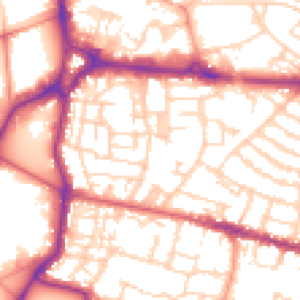
Daytime· 07:00 – 23:00
55.0dB

Night-time· 23:00 – 07:00
44.2dB