47 Pains Road, Southsea, PO5 1HE
About 47 Pains Road
47 Pains Road is a two-bedroom detached house in Southsea (PO5 1HE). It has a recorded floor area of 79 m² (around 850 sq ft), construction records dating it to 1967-1975 and council tax band C. The latest certificate (March 2016) shows an E (score 39), well below the UK norm with real room to improve. The rating has held steady at E across 2 certificates since August 2012. Between certificates, lighting dropped from Very Good to Very Poor. The recommended improvements would lift it to C (score 80), a 2-band jump. The latest certificate is from March 2016, so improvements made since then won't be reflected. Other recorded features include a balcony.
At 79 m² it sits well below the postcode median (119 m² across 52 EPCs), making it one of the more compact homes locally. It lags the bulk of the postcode on energy efficiency (less efficient than 85% of similar EPCs). Last sale on file: £270,000 in January 2022. Across the public record there are 4 sales, relatively high churn for a single property. That sale was during the post-pandemic price surge, when transactions cleared materially above pre-2020 trend. Across 1997–2022, sale prices on this property compounded at 7.7% per year. On a £-per-square-foot basis, the last sale (£318/sq ft) was about 176.7% above the typical sold price in the postcode. One historical planning record sits against the property in 2022.
Know exactly what you're buying at 47 Pains Road
Before you offer, see what the listing won't tell you, the true value, the red flags and the full history.
Already flagged here
Launch offer · save £5
Valuation
against the asking price
Risks
planning & flood
Sold prices
similar homes nearby
Trends
the local market
What this property has
Inside
- Bedrooms2
- Bathrooms1
- Dining roomYes
Outside
- GarageYes
- BalconyYes
Building
- Central heatingYes
- RefurbishedYes
Energy performance
47 Pains Road's carbon output runs well above what efficient homes in the postcode produce.
EPC Expired
This certificate is over 10 years old and is no longer valid.Expired 08 Mar 2026
EPC Rating
Property Improvements
Changes detected from historical EPC data
Heating controls upgraded for better temperature management
Windows upgraded, improving insulation
Low energy lighting percentage decreased
Planning history
- Nov 2022Garage ConversionFullIn report
Conversion of integral garage to residential use.
- Agent
- Planning Base Ltd
- Documents
- 17 docs on file
- Reference
- 22/01469/HOU
We flagged 1 thing worth checking at 47 Pains Road
Independent checks surfaced things a buyer would want to understand before offering. The report explains each one in full, with the underlying data and what to ask.
- Signs of HMO activity in the area
30-day money-back guarantee
Sales history & valuation
Price for 47 Pains Road has grown more than fourfold since the 1997 starting point.
£295,000
Modelled from EPC, postcode comparables and a sale-price growth of 7.7% per year over 24 years.
£270,000
Growth on file: 7.7% per year over 24 years.
Sales timeline
6 January 2022Most recent
£270,000
+114.3%over 18 years19 June 2003
£126,000
+85.3%over 3 years19 November 1999
£68,000
+51.1%over 2 years9 October 1997
£45,000
Median price across the last 5 sales in PO5 1HE: £250,000 (2023–2020).
Nearby sales in PO5 1HE
Everything we know about 47 Pains Road, in one report
What it's really worth, what could be wrong, and the planning, sales and area data in full.
What we flagged
- Signs of HMO activity in the area

Versus other Pains Road homes
47 Pains Road outperforms the street on price per m² by a wide margin.
Price per m²
£3,418
Street avg £1,496
Floor Area
79 m²
Street avg 126 m²
Habitable Rooms
3 rooms
Street avg 6 rooms
CO₂ Emissions
6.0 t/year
Street avg 4.9 t/year
Similar properties nearby
1 Dufose Terrace, St Andrews Road
PO5 1DX
1 Cleveland Road
PO5 1SF
1 Britannia Road
PO5 1SN
1 Montgomerie Road
PO5 1EB
1 Pains Road
PO5 1HE
1 Harrow Road
PO5 1SJ
1 Campbell Road
PO5 1RH
1 Chelsea Road
PO5 1NH
The neighbourhood at a glance
Rail-style transport is unusually close for this postcode.
Crime
11/mo
Steady year-on-year across the wider district.
Nearest stop
0.2 km
Outram Road — bus stop.
Closest school
0.3 km
Cottage Grove Primary School and Nursery. 35 schools nearby.
Go deeper on the local area
The full report breaks down crime, transport links, schools and air quality in depth.
Road noise across the postcode
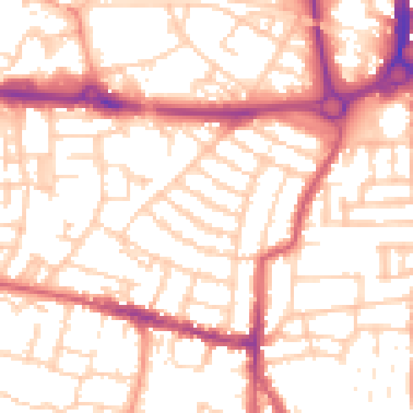
Daytime· 07:00 – 23:00
54.0dB

Night-time· 23:00 – 07:00
42.9dB