3 Arthur Street, Ryde, PO33 3BT
About 3 Arthur Street
3 Arthur Street is a semi-detached house in Ryde (PO33 3BT). It has a recorded floor area of 82 m² (around 883 sq ft), construction records dating it to 1900-1929 and council tax band C. The latest certificate (April 2019) shows a D (score 60), on the cusp of jumping into the C band. The recommended improvements would lift it to B (score 84), a 2-band jump.
Today's modelled estimate of £231,000 is 30.5% above the 2019 sale price. On a £-per-square-foot basis, the last sale (£201/sq ft) was about 32.7% above the typical sold price in the postcode. Most recent transfer: September 2019 at £177,000.
Everything you need to know about 3 Arthur Street
The true value, the hidden risks and the full sale history, in one report.
30-day money-back guarantee

The data behind every report


Energy performance
Recommended upgrades on file would lift this property by multiple EPC bands.
EPC Rating
Planning history
3 Arthur Street has no planning applications on record.
Notable planning nearby
1applications of note in the surrounding area
We flagged 1 thing worth checking at 3 Arthur Street
Independent checks surfaced things a buyer would want to understand before offering. The report explains each one in full, with the underlying data and what to ask.
- Larger development activity nearby
30-day money-back guarantee
Sales history & valuation
3 Arthur Street valuation sits well clear of the typical sold price in this postcode.
£231,000
Modelled from EPC, postcode comparables.
£177,000
Recorded with HM Land Registry.
Sales timeline
24 September 2019Most recent
£177,000
Median price across the last 5 sales in PO33 3BT: £242,500 (2025–2023).
Versus other Arthur Street homes
3 Arthur Street is notably below the street on habitable rooms.
Price per m²
£2,159
Street avg £2,121
Floor Area
82 m²
Street avg 89 m²
Habitable Rooms
4 rooms
Street avg 5 rooms
CO₂ Emissions
3.8 t/year
Street avg 4.2 t/year
Everything you need to know about 3 Arthur Street
The true value, the hidden risks and the full sale history, in one report.
30-day money-back guarantee
The data behind every report
Similar properties nearby
1 Colenutts Road
PO33 3HS
1 Argyll Place
PO33 3BX
1 Cleavers Close
PO33 3SR
1 Coach House Lane
PO33 3LU
1 Berwick Cottages, Binstead Hill
PO33 3RW
1 Argyll Street
PO33 3BZ
1 Bethella Cottages, Binstead Hill
PO33 3RL
1 Binstead Hill
PO33 3RR
The neighbourhood at a glance
Crime
7/mo
Steady year-on-year across the wider district.
Nearest stop
0.2 km
Ryde Academy — bus stop.
Closest school
0.4 km
Lift Ryde. 7 schools nearby.
Go deeper on the local area
The full report breaks down crime, transport links, schools and air quality in depth.
Road noise across the postcode
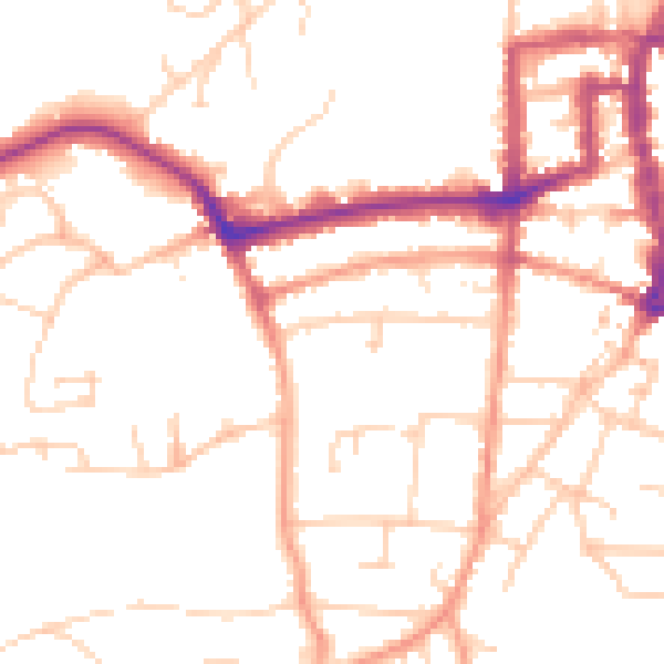
Daytime· 07:00 – 23:00
50.2dB

Night-time· 23:00 – 07:00
40.4dB