9 Alfred Street, Ryde, PO33 2TS
About 9 Alfred Street
9 Alfred Street is a detached house in Ryde (PO33 2TS). It has a recorded floor area of 78 m² (around 840 sq ft), construction records dating it to 1967-1975 and council tax band D. The latest certificate (December 2022) shows a D (score 55), a step below the typical UK home. The rating has held steady at D across 2 certificates since January 2011. Between certificates, lighting went from Average to Very Good and main heating went from Average to Good; while wall efficiency dropped from Good to Average. The recommended improvements would lift it to B (score 82), a 2-band jump.
At 78 m² it's 20% larger than the typical home in the postcode (65 m² median across 45 EPCs). Across 2000–2023, sale prices on this property compounded at 5.1% per year. On a £-per-square-foot basis, the last sale (£345/sq ft) was about 92.4% above the typical sold price in the postcode. Most recent transfer: April 2023 at £290,000.
Everything you need to know about 9 Alfred Street
The true value, the hidden risks and the full sale history, in one report.
30-day money-back guarantee

The data behind every report


Energy performance
Recommended upgrades on file would lift this property by multiple EPC bands.
EPC Rating
Property Improvements
Changes detected from historical EPC data
Windows upgraded, improving insulation
More low energy lighting installed
Planning history
9 Alfred Street has no planning applications on record.
Notable planning nearby
5applications of note in the surrounding area
We flagged 1 thing worth checking at 9 Alfred Street
Independent checks surfaced things a buyer would want to understand before offering. The report explains each one in full, with the underlying data and what to ask.
- Signs of HMO activity in the area
30-day money-back guarantee
Sales history & valuation
Sale price has grown by over 3x since 2000.
£280,000
Modelled from EPC, postcode comparables and a sale-price growth of 5.1% per year over 23 years.
£290,000
Growth on file: 5.1% per year over 23 years.
Sales timeline
4 April 2023Most recent
£290,000
+61.1%over 11 years25 July 2011
£180,000
+89.5%over 10 years21 September 2000
£95,000
Median price across the last 5 sales in PO33 2TS: £215,000 (2025–2024).
Versus other Alfred Street homes
On price per m², 9 Alfred Street stands well clear of the street.
Price per m²
£3,718
Street avg £2,419
Floor Area
78 m²
Street avg 72 m²
Habitable Rooms
5 rooms
Street avg 4 rooms
CO₂ Emissions
4.3 t/year
Street avg 3.1 t/year
Everything you need to know about 9 Alfred Street
The true value, the hidden risks and the full sale history, in one report.
30-day money-back guarantee
The data behind every report
Similar properties nearby
1 5, St Johns Road
PO33 2RL
1 Ashey Place
PO33 2WA
1 Denham Cottages, Weeks Road
PO33 2TR
1 Buckingham Lodge, Buckingham Close
PO33 2DN
1 Albert Cottages, Rosemary Lane
PO33 2UX
1 Abingdon Road
PO33 2RR
1 Brigstocke Terrace
PO33 2PD
1 Daniel Street
PO33 2BH
The neighbourhood at a glance
Rail-style transport is unusually close for this postcode.
Crime
7/mo
Steady year-on-year across the wider district.
Nearest stop
0.4 km
Osborne Road — bus stop.
Closest school
0.6 km
Haylands Primary School. 7 schools nearby.
Go deeper on the local area
The full report breaks down crime, transport links, schools and air quality in depth.
Road noise across the postcode
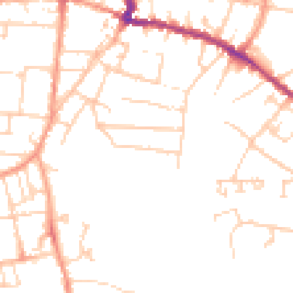
Daytime· 07:00 – 23:00
47.9dB

Night-time· 23:00 – 07:00
38.3dB