6 Daniel Street, Ryde, PO33 2BH
About 6 Daniel Street
6 Daniel Street is a semi-detached house in Ryde (PO33 2BH). It has a recorded floor area of 96 m² (around 1036 sq ft), construction records dating it to before 1900 and council tax band B. The latest certificate (May 2009) shows a D (score 56), a step below the typical UK home. The latest certificate is from May 2009, so improvements made since then won't be reflected.
At 96 m² it's 21.8% larger than the typical home in the postcode (79 m² median across 31 EPCs). Across 2006–2017, sale prices on this property compounded at 1.4% per year. Today's modelled estimate of £226,000 is 29.1% above the 2017 sale price. On a £-per-square-foot basis, the last sale (£169/sq ft) was about 17.9% above the typical sold price in the postcode. On the market in April 2017 and unlisted since — roughly 9 years.
Everything you need to know about 6 Daniel Street
The true value, the hidden risks and the full sale history, in one report.
30-day money-back guarantee

The data behind every report


Energy performance
6 Daniel Street's EPC is over a decade old — improvements since won't be reflected.
EPC Expired
This certificate is over 10 years old and is no longer valid.Expired 21 May 2019
EPC Rating
Planning history
6 Daniel Street has no planning applications on record.
Notable planning nearby
5applications of note in the surrounding area
We flagged 1 thing worth checking at 6 Daniel Street
Independent checks surfaced things a buyer would want to understand before offering. The report explains each one in full, with the underlying data and what to ask.
- Signs of HMO activity in the area
30-day money-back guarantee
Sales history & valuation
6 Daniel Street's sale-price growth has lagged the wider UK trajectory across its history on file.
£226,000
Modelled from EPC, postcode comparables and a sale-price growth of 1.4% per year over 11 years.
£175,000
Growth on file: 1.4% per year over 11 years.
Sales timeline
18 April 2017Most recent
£175,000
-2.8%over 10 years15 December 2006
£179,950
+20.0%over 9 months10 March 2006
£150,000
Median price across the last 5 sales in PO33 2BH: £195,000 (2025–2023).
Versus other Daniel Street homes
On floor area, 6 Daniel Street stands well clear of the street.
Price per m²
£1,819
Street avg £1,741
Floor Area
96 m²
Street avg 82 m²
Habitable Rooms
4 rooms
Street avg 5 rooms
CO₂ Emissions
5.3 t/year
Street avg 3.8 t/year
Everything you need to know about 6 Daniel Street
The true value, the hidden risks and the full sale history, in one report.
30-day money-back guarantee
The data behind every report
Similar properties nearby
1 Brigstocke Terrace
PO33 2PD
1 Abingdon Road
PO33 2RR
1 Daniel Street
PO33 2BH
1 Aldermore Close
PO33 2DQ
1 Dairy Court, West Street
PO33 2PQ
1 Albert Cottages, Rosemary Lane
PO33 2UX
1 Alfred Street
PO33 2TS
1 Church Lane Cottages, Church Lane
PO33 2NB
The neighbourhood at a glance
Rail-style transport is unusually close for this postcode.
Crime
7/mo
Steady year-on-year across the wider district.
Nearest stop
0.1 km
Park Road — bus stop.
Closest school
0.2 km
Dover Park Primary School. 7 schools nearby.
Go deeper on the local area
The full report breaks down crime, transport links, schools and air quality in depth.
Road noise across the postcode
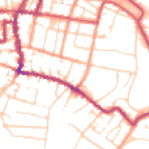
Daytime· 07:00 – 23:00
51.7dB
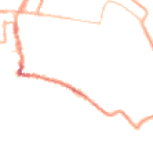
Night-time· 23:00 – 07:00
41.7dB