Wychwood, Church Lane, Addlethorpe, Skegness, PE24 4UN
About Wychwood
Wychwood is a three-bedroom property in Addlethorpe, Skegness, Skegness (PE24 4UN).
Untraded for 20 years, with the last transfer in October 2006.
Know exactly what you're buying at Wychwood
Before you offer, see what the listing won't tell you, the true value, the red flags and the full history.
Valuation
against the asking price
Risks
planning & flood
Sold prices
similar homes nearby
Trends
the local market
What this property has
Inside
- Bedrooms3
Energy performance
No EPC on record
This property doesn't have an Energy Performance Certificate yet. An EPC is required to sell or let — and unlocks our automated valuation.
Planning history
Wychwood has no planning applications on record.
Notable planning nearby
1applications of note in the surrounding area
Sales history & valuation
£142,000
Recorded with HM Land Registry.
Sales timeline
24 October 2006Most recent
£142,000
Median price across the last 5 sales in PE24 4UN: £182,500 (2025–2014).
Nearby sales in PE24 4UN
Kalam, Church Lane, Addlethorpe, Skegness, PE24 4UN
Sold May 2025
£202,500Carinya, Church Lane, Addlethorpe, Skegness, PE24 4UN
Sold Jul 2019
£182,500Lyndale, Church Lane, Addlethorpe, Skegness, PE24 4UN
Sold Apr 2015
£200,0003 Council Houses, Church Lane, Addlethorpe, Skegness, PE24 4UN
Sold Mar 2014
£68,500Sunkist, Church Lane, Addlethorpe, Skegness, PE24 4UN
Sold Jun 2005
£244,950
Everything we know about Wychwood, in one report
What it's really worth, what could be wrong, and the planning, sales and area data in full.
- Am I paying too much?
- Is something wrong with it?
- Is the agent's story true?
- Will it hold its value?

Similar properties nearby
1 Bees Corner, Wainfleet
PE24 4PB
1 Dovecote Farm, Wainfleet St Mary
PE24 4AG
1 All Saints Close, Wainfleet
PE24 4LL
1 Croft Close, Wainfleet
PE24 4DT
1 Aylmer Avenue, Croft
PE24 4ST
1 Bethlem Crescent, Wainfleet St Mary
PE24 4EL
1 College Close, Wainfleet
PE24 4EN
1 Crown Cottages, Croft Bank, Croft
PE24 4AP
The neighbourhood at a glance
Crime
1/mo
Steady year-on-year across the wider district.
Nearest stop
0.2 km
Church Lane — bus stop.
Closest school
0.4 km
Ingoldmells Academy. 2 schools nearby.
Go deeper on the local area
The full report breaks down crime, transport links, schools and air quality in depth.
Road noise across the postcode
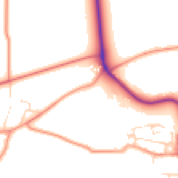
Daytime· 07:00 – 23:00
51.0dB

Night-time· 23:00 – 07:00
41.2dB