19 Grundy Crescent, Kennington, Oxford, OX1 5PS
About 19 Grundy Crescent
19 Grundy Crescent is a four-bedroom semi-detached house in Kennington, Oxford, Oxford (OX1 5PS). It has a recorded floor area of 151 m² (around 1625 sq ft), construction records dating it to 1930-1949 and council tax band D. The property has an EV charger on record, all of which lower running costs and tend to lift resale appeal. The latest certificate (July 2023) shows a D (score 66), on the cusp of jumping into the C band. The recommended improvements would push it to C (score 75).
At 151 m² the property is well over the postcode median (82 m² across 22 EPCs), placing it in the larger end of the local stock. Across 2004–2023, sale prices on this property compounded at 6.9% per year. On a £-per-square-foot basis, the last sale (£403/sq ft) was about 31.2% above the typical sold price in the postcode. 4 planning records sit against the property, 0 approved, 1 refused. Last sale on file: £655,000 in November 2023.
What this property has
Inside
- Bedrooms4
- Bathrooms2
- Dining roomYes
- EnsuiteYes
- StudyYes
- FireplaceYes
Outside
- Private gardenYes
- DrivewayYes
Building
- EV chargerYes
Everything you need to know about 19 Grundy Crescent
The true value, the hidden risks and the full sale history, in one report.
30-day money-back guarantee

The data behind every report


Energy performance
EPC Rating
Planning history
A recent planning application at 19 Grundy Crescent was refused — worth checking the council file.
- May 2025OutlineIn report
Partially cover the existing alleyway down the side of the house with a lean-to shed structure Replace the existing alleyway gate with a shed door Roof to be made out of clear polycarbonate sheets Roof slopes down into gutter, which drains to existing soakaway Guttering to be placed over existing boundary fence at 183CM height Roof attached to house at highest point Concrete slab base for hard-standing, 650CM long, 165CM wide Shed 650CM long, 165CM wide Shed 216CM high at highest point, 190CM high at lowest point Square Meters = 10.73 m²
- Documents
- 6 docs on file
- Reference
- P25/V0645/LDP
- Nov 2013ExtensionFullIn report
Extension: Side and rear of property
Erection of a double storey side extension and single storey rear extension
- Documents
- 6 docs on file
- Reference
- P13/V2259/HH
We flagged 2 things worth checking at 19 Grundy Crescent
Independent checks surfaced things a buyer would want to understand before offering. The report explains each one in full, with the underlying data and what to ask.
- Larger development activity nearby
- A planning decision worth checking
30-day money-back guarantee
Sales history & valuation
Latest sale on 19 Grundy Crescent was the highest on Land Registry record across the postcode.
£681,000
Modelled from EPC, postcode comparables and a sale-price growth of 6.9% per year over 19 years.
£655,000
Growth on file: 6.9% per year over 19 years.
Sales timeline
24 November 2023Most recent
£655,000
+263.9%over 19 years27 May 2004
£180,000
Median price across the last 5 sales in OX1 5PS: £577,000 (2025–2021).
Nearby sales in OX1 5PS
24 Grundy Crescent, Kennington, Oxford, OX1 5PS
Sold Sept 2025
£587,0006 Grundy Crescent, Kennington, Oxford, OX1 5PS
Sold Apr 2023
£580,0004 Grundy Crescent, Kennington, Oxford, OX1 5PS
Sold Apr 2023
£577,00028 Grundy Crescent, Kennington, Oxford, OX1 5PS
Sold Nov 2021
£310,00011 Grundy Crescent, Kennington, Oxford, OX1 5PS
Sold Aug 2021
£540,000
Versus other Grundy Crescent homes
On floor area, 19 Grundy Crescent stands well clear of the street.
Price per m²
£4,338
Street avg £4,127
Floor Area
151 m²
Street avg 96 m²
Habitable Rooms
7 rooms
Street avg 5 rooms
CO₂ Emissions
5.3 t/year
Street avg 3.5 t/year
Everything you need to know about 19 Grundy Crescent
The true value, the hidden risks and the full sale history, in one report.
30-day money-back guarantee
The data behind every report
Similar properties nearby
1 Edward Road, Kennington
OX1 5LH
1 Grundy Crescent, Kennington
OX1 5PS
1 Red Copse Lane, Boars Hill
OX1 5ER
1 Bagley Close, Kennington
OX1 5LS
1 Kirk Close, Kennington
OX1 5PX
1 Fairways, Kennington
OX1 5RQ
1 Church Close, South Hinksey
OX1 5BA
1 Bagley Wood Road, Kennington
OX1 5PL
The neighbourhood at a glance
Reported crime in the wider district is trending notably upward year-on-year.
Crime
6/mo
Rising year-on-year across the wider district.
Nearest stop
0.2 km
St Swithuns Primary School — bus stop.
Closest school
0.1 km
St Swithun's CofE Primary School. 12 schools nearby.
Go deeper on the local area
The full report breaks down crime, transport links, schools and air quality in depth.
Road noise across the postcode
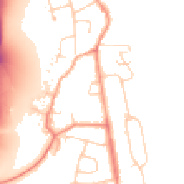
Daytime· 07:00 – 23:00
51.3dB

Night-time· 23:00 – 07:00
43.8dB