2 Baltic Wharf, Marlborough Road, Oxford, OX1 4JX
About 2 Baltic Wharf
2 Baltic Wharf is a three-bedroom mid-terrace house in Oxford (OX1 4JX). It has a recorded floor area of 120 m² (around 1292 sq ft), construction records dating it to 1996-2002 and council tax band F. The latest certificate (August 2024) shows an E (score 44), well below the UK norm with real room to improve. The recommended improvements would lift it to B (score 85), a 3-band jump. Main heating runs on electricity.
It changed hands recently, sold January 2025 for £705,000. Across 1998–2025, sale prices on this property compounded at 5% per year. On a £-per-square-foot basis, the last sale (£546/sq ft) was about 70.7% above the typical sold price in the postcode. One historical planning record sits against the property in 2011.
What this property has
Inside
- Bedrooms3
- Bathrooms2
- CloakroomYes
- EnsuiteYes
Outside
- ParkingYes
Everything you need to know about 2 Baltic Wharf
The true value, the hidden risks and the full sale history, in one report.
30-day money-back guarantee

The data behind every report


Energy performance
Recommended upgrades on file would lift this property by multiple EPC bands.
EPC Rating
Planning history
- May 2011
We flagged 2 things worth checking at 2 Baltic Wharf
Independent checks surfaced things a buyer would want to understand before offering. The report explains each one in full, with the underlying data and what to ask.
- Signs of HMO activity in the area
- Larger development activity nearby
30-day money-back guarantee
Sales history & valuation
2 Baltic Wharf has more than tripled in price since its earliest registered sale in 1998.
£710,000
Modelled from EPC, postcode comparables and a sale-price growth of 5.0% per year over 26 years.
£705,000
Growth on file: 5.0% per year over 26 years.
Sales timeline
27 January 2025Most recent
£705,000
+261.5%over 26 years11 December 1998
£195,000
Median price across the last 5 sales in OX1 4JX: £432,000 (2025–2005).
Everything you need to know about 2 Baltic Wharf
The true value, the hidden risks and the full sale history, in one report.
30-day money-back guarantee
The data behind every report
Similar properties nearby
1 Kineton Road
OX1 4PG
1 Northampton Road
OX1 4TG
1 Fox Crescent
OX1 4UX
1 Chilswell Road
OX1 4PQ
1 Baltic Wharf, Marlborough Road
OX1 4JX
1 Isis Close
OX1 4XX
1 Lincoln Road
OX1 4TB
1 Marlborough Road
OX1 4LW
The neighbourhood at a glance
Reported crime in the wider district is trending notably upward year-on-year.
Crime
6/mo
Rising year-on-year across the wider district.
Nearest stop
0.2 km
Speedwell Stand — bus stop.
Closest school
0.2 km
St Ebbe's Church of England Aided Primary School. 19 schools nearby.
Go deeper on the local area
The full report breaks down crime, transport links, schools and air quality in depth.
Road noise across the postcode
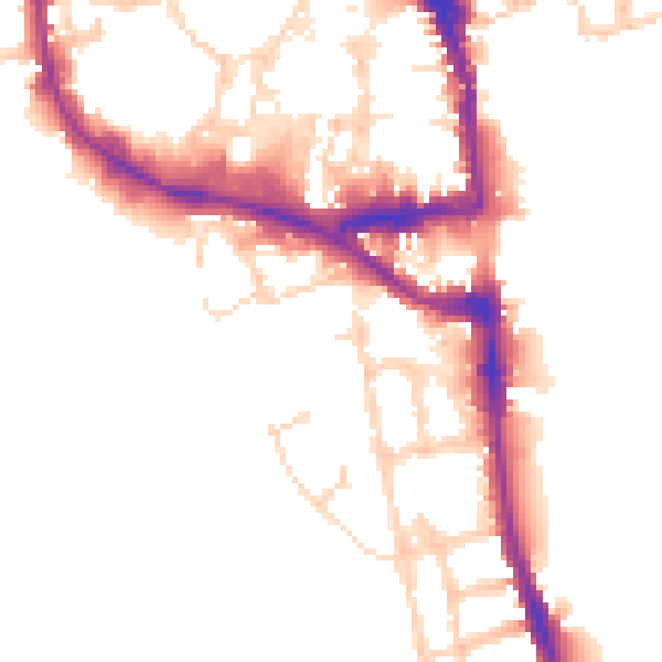
Daytime· 07:00 – 23:00
51.1dB

Night-time· 23:00 – 07:00
43.5dB