15 Walton Street, Oxford, OX1 2HG
About 15 Walton Street
15 Walton Street is a four-bedroom end-of-terrace house in Oxford (OX1 2HG). It has a recorded floor area of 170 m² (around 1830 sq ft), construction records dating it to before 1900 and council tax band G. The latest certificate (September 2021) shows a D (score 57), a step below the typical UK home. When first surveyed in November 2010 the rating was F, the property has climbed 2 bands since. Between certificates, roof efficiency went from Very Poor to Good and lighting went from Average to Good; while wall efficiency dropped from Poor to Very Poor and window efficiency dropped from Average to Poor. The recommended improvements would push it to C (score 78). Other recorded features include outbuildings.
12 planning records sit against the property, 4 approved, 2 refused, 2 pending. Past consents include an extension and partial demolition, meaningful when judging how the property has evolved. An application is currently awaiting a decision. The record references listed-building consent and conservation-area consent, which constrain future alterations. At 170 m² it's 18.1% larger than the typical home in the postcode (144 m² median across 17 EPCs). Today's modelled estimate of £2,065,000 is 24.4% above the 2022 sale price. On a £-per-square-foot basis, the last sale (£907/sq ft) was about 28.7% above the typical sold price in the postcode. Most recent transfer: January 2022 at £1,660,000. That sale was during the post-pandemic price surge, when transactions cleared materially above pre-2020 trend.
What this property has
Inside
- Bedrooms4
- Bathrooms2
- Dining roomYes
- Utility roomYes
- StudyYes
Outside
- Private gardenYes
- GarageYes
- OutbuildingsYes
Everything you need to know about 15 Walton Street
The true value, the hidden risks and the full sale history, in one report.
30-day money-back guarantee

The data behind every report


Energy performance
15 Walton Street's carbon output runs well above what efficient homes in the postcode produce.
EPC Rating
Property Improvements
Changes detected from historical EPC data
Heating controls upgraded for better temperature management
Windows upgraded, improving insulation
Loft insulation installed or upgraded to 250mm+
More low energy lighting installed
Planning history
Planning history includes recorded demolition works, indicating a major rebuild phase at this address.
- Jan 2023HeritageIn report
Erection of a blue plaque commemorating Philippa Foot.
- Documents
- 11 docs on file
- Reference
- 22/02590/LBC
- Jun 2017ConditionsIn report
Details submitted in compliance with conditions 3 (Materials),4 (Sample panel),5 (Use of outbuilding) of planning permission 15/02020/FUL.
- Reference
- 15/02020/CND
We flagged 1 thing worth checking at 15 Walton Street
Independent checks surfaced things a buyer would want to understand before offering. The report explains each one in full, with the underlying data and what to ask.
- Larger development activity nearby
30-day money-back guarantee
Sales history & valuation
The latest sale landed in the post-pandemic price surge — useful context when reading the figure.
£2,065,000
Modelled from EPC, postcode comparables.
£1,660,000
Recorded with HM Land Registry.
Sales timeline
21 January 2022Most recent
£1,660,000
Median price across the last 5 sales in OX1 2HG: £1,100,000 (2023–2013).
Nearby sales in OX1 2HG
Versus other Walton Street homes
Price per m² for 15 Walton Street runs comfortably ahead of the street norm.
Price per m²
£9,765
Street avg £8,218
Floor Area
170 m²
Street avg 161 m²
Habitable Rooms
7 rooms
Street avg 7 rooms
CO₂ Emissions
7.7 t/year
Street avg 7.9 t/year
Everything you need to know about 15 Walton Street
The true value, the hidden risks and the full sale history, in one report.
30-day money-back guarantee
The data behind every report
Similar properties nearby
The neighbourhood at a glance
Reported crime in the wider district is trending notably upward year-on-year.
Crime
6/mo
Rising year-on-year across the wider district.
Nearest stop
0.1 km
Ruskin College — bus stop.
Closest school
0.4 km
St Barnabas' Church of England Aided Primary School. 18 schools nearby.
Go deeper on the local area
The full report breaks down crime, transport links, schools and air quality in depth.
Road noise across the postcode
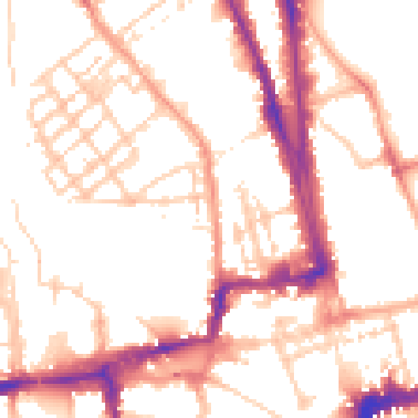
Daytime· 07:00 – 23:00
52.2dB

Night-time· 23:00 – 07:00
42.4dB