22 Dale Close, Oxford, OX1 1TU
About 22 Dale Close
22 Dale Close is a mid-terrace house in Oxford (OX1 1TU). It has a recorded floor area of 139 m² (around 1496 sq ft), construction records dating it to 1983-1990 and council tax band F. The latest certificate (March 2022) shows a C (score 73). The rating has held steady at C across 2 certificates since December 2009. Between certificates, lighting went from Very Poor to Good; while roof efficiency dropped from Good to Average and window efficiency dropped from Good to Average. The recommended improvements would push it to B (score 82).
One planning record on file: an extension approved in 2004. Past consents include an extension, a garage conversion and a conservatory, meaningful when judging how the property has evolved.
Everything you need to know about 22 Dale Close
The true value, the hidden risks and the full sale history, in one report.
30-day money-back guarantee

The data behind every report


Energy performance
EPC Rating
Property Improvements
Changes detected from historical EPC data
Hot water efficiency decreased
More low energy lighting installed
Planning history
- Nov 2004Garage ConversionFullIn report
Conversion of integral garage to living accommodation. Rear conservatory.
ExtensionConservatory- Documents
- 12 docs on file
- Reference
- 04/01495/FUL
We flagged 2 things worth checking at 22 Dale Close
Independent checks surfaced things a buyer would want to understand before offering. The report explains each one in full, with the underlying data and what to ask.
- Signs of HMO activity in the area
- Larger development activity nearby
30-day money-back guarantee
Sales history & valuation
22 Dale Close has no Land Registry sales on file, suggesting it has stayed in the same hands since registration began.
£735,000
Modelled from EPC, postcode comparables.
No sales recorded with HM Land Registry
That can mean the property has never traded since the registry began publishing in 1995, was a new build that hasn't been registered yet, or is held in the same hands long-term.
Median price across the last 5 sales in OX1 1TU: £595,000 (2024–2018).
Versus other Dale Close homes
EPC Rating for 22 Dale Close runs comfortably ahead of the street norm.
EPC Rating
73 (C)
Street avg 70 (C)
Floor Area
139 m²
Street avg 124 m²
CO₂ Emissions
3.8 t/year
Street avg 4.1 t/year
Habitable Rooms
5 rooms
Street avg 6 rooms
Everything you need to know about 22 Dale Close
The true value, the hidden risks and the full sale history, in one report.
30-day money-back guarantee
The data behind every report
Similar properties nearby
The neighbourhood at a glance
Reported crime in the wider district is trending notably upward year-on-year.
Crime
6/mo
Rising year-on-year across the wider district.
Nearest stop
0.2 km
Westgate — bus stop.
Closest school
0.3 km
St Ebbe's Church of England Aided Primary School. 18 schools nearby.
Go deeper on the local area
The full report breaks down crime, transport links, schools and air quality in depth.
Road noise across the postcode
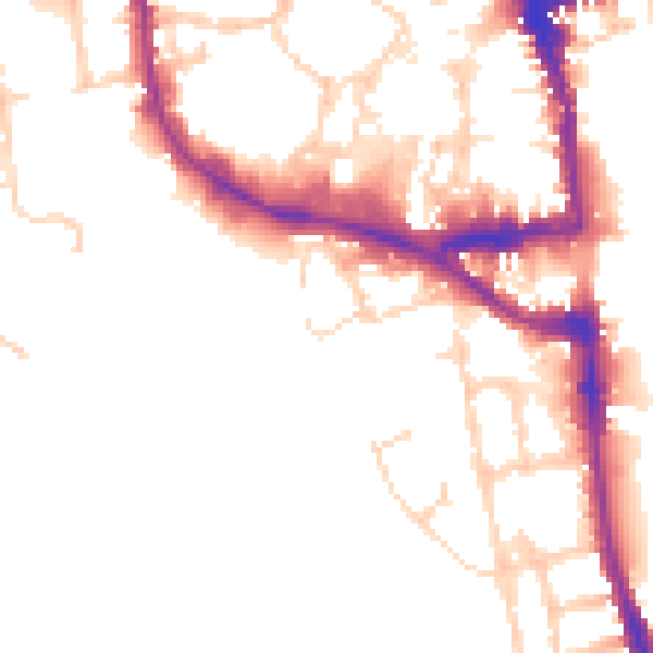
Daytime· 07:00 – 23:00
51.5dB

Night-time· 23:00 – 07:00
43.3dB