3 Preachers Lane, Oxford, OX1 1RS
About 3 Preachers Lane
3 Preachers Lane is a mid-terrace house in Oxford (OX1 1RS). It has a recorded floor area of 65 m² (around 700 sq ft), construction records dating it to 1930-1949 and council tax band C. The latest certificate (March 2021) shows a C (score 72). The rating has held steady at C across 2 certificates since August 2011.
Everything you need to know about 3 Preachers Lane
The true value, the hidden risks and the full sale history, in one report.
30-day money-back guarantee

The data behind every report


Energy performance
EPC Rating
Property Improvements
Changes detected from historical EPC data
More low energy lighting installed
Planning history
3 Preachers Lane has no planning applications on record.
Notable planning nearby
10applications of note in the surrounding area
We flagged 2 things worth checking at 3 Preachers Lane
Independent checks surfaced things a buyer would want to understand before offering. The report explains each one in full, with the underlying data and what to ask.
- Signs of HMO activity in the area
- Larger development activity nearby
30-day money-back guarantee
Sales history & valuation
3 Preachers Lane has no Land Registry sales on file, suggesting it has stayed in the same hands since registration began.
£323,000
Modelled from EPC, postcode comparables.
No sales recorded with HM Land Registry
That can mean the property has never traded since the registry began publishing in 1995, was a new build that hasn't been registered yet, or is held in the same hands long-term.
Median price across the last 4 sales in OX1 1RS: £114,500 (2015–1996).
Versus other Preachers Lane homes
On floor area, 3 Preachers Lane runs well behind the street norm.
EPC Rating
72 (C)
Street avg 68 (D)
Floor Area
65 m²
Street avg 71 m²
CO₂ Emissions
2.2 t/year
Street avg 2.8 t/year
Habitable Rooms
4 rooms
Street avg 4 rooms
Everything you need to know about 3 Preachers Lane
The true value, the hidden risks and the full sale history, in one report.
30-day money-back guarantee
The data behind every report
Similar properties nearby
1 Preachers Lane
OX1 1RS
1 Brooks Taylor Court, Albion Place
OX1 1UB
1 Venneit Close
OX1 1HZ
1 Swan Court, Paradise Street
OX1 1JB
1 Castle Mews, St Thomas Street
OX1 1JR
1 Abbey Walk, Osney Lane
OX1 1NN
1 Friars Wharf
OX1 1RU
10 Bridges Cross, Speedwell Street
OX1 1EZ
The neighbourhood at a glance
Reported crime in the wider district is trending notably upward year-on-year.
Crime
6/mo
Rising year-on-year across the wider district.
Nearest stop
0.1 km
Speedwell Stand — bus stop.
Closest school
0.3 km
St Ebbe's Church of England Aided Primary School. 20 schools nearby.
Go deeper on the local area
The full report breaks down crime, transport links, schools and air quality in depth.
Road noise across the postcode
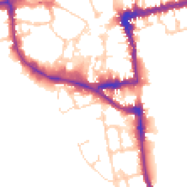
Daytime· 07:00 – 23:00
51.9dB

Night-time· 23:00 – 07:00
44.1dB