6 The Hamel, Oxford, OX1 1JU
About 6 The Hamel
6 The Hamel is a mid-terrace house in Oxford (OX1 1JU). It has a recorded floor area of 128 m² (around 1378 sq ft), construction records dating it to before 1900 and council tax band D. The latest certificate (February 2024) shows a D (score 62), on the cusp of jumping into the C band. The rating has held steady at D across 2 certificates since October 2008. Between certificates, hot-water efficiency went from Average to Good and lighting went from Good to Very Good; while roof efficiency dropped from Good to Very Poor. The recommended improvements would push it to C (score 80).
At 128 m² the property is well over the postcode median (78 m² across 4 EPCs), placing it in the larger end of the local stock. One historical planning record sits against the property in 2010.
Everything you need to know about 6 The Hamel
The true value, the hidden risks and the full sale history, in one report.
30-day money-back guarantee

The data behind every report


Energy performance
EPC Rating
Property Improvements
Changes detected from historical EPC data
Hot water system upgraded
More low energy lighting installed
Planning history
- Nov 2010OutlineIn report
Proposed satelite dish.
- Documents
- 1 doc on file
- Reference
- 10/02472/PDC
We flagged 2 things worth checking at 6 The Hamel
Independent checks surfaced things a buyer would want to understand before offering. The report explains each one in full, with the underlying data and what to ask.
- Signs of HMO activity in the area
- Larger development activity nearby
30-day money-back guarantee
Sales history & valuation
6 The Hamel has no Land Registry sales on file, suggesting it has stayed in the same hands since registration began.
£624,000
Modelled from EPC, postcode comparables.
No sales recorded with HM Land Registry
That can mean the property has never traded since the registry began publishing in 1995, was a new build that hasn't been registered yet, or is held in the same hands long-term.
Versus other The Hamel homes
On floor area, 6 The Hamel stands well clear of the street.
EPC Rating
62 (D)
Street avg 56 (D)
Floor Area
128 m²
Street avg 74 m²
CO₂ Emissions
5.5 t/year
Street avg 4.4 t/year
Habitable Rooms
5 rooms
Street avg 3 rooms
Everything you need to know about 6 The Hamel
The true value, the hidden risks and the full sale history, in one report.
30-day money-back guarantee
The data behind every report
Similar properties nearby
The neighbourhood at a glance
Rail-style transport is unusually close for this postcode.
Crime
6/mo
Rising year-on-year across the wider district.
Nearest stop
0.2 km
Park End Street — bus stop.
Closest school
0.2 km
Activate Learning. 19 schools nearby.
Go deeper on the local area
The full report breaks down crime, transport links, schools and air quality in depth.
Road noise across the postcode
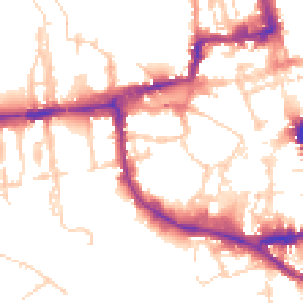
Daytime· 07:00 – 23:00
52.7dB

Night-time· 23:00 – 07:00
43.8dB