202a, Flat, Milnrow Road, Shaw, Oldham, OL2 8BE
About 202a
202a is an end-of-terrace house in Shaw, Oldham, Oldham (OL2 8BE). It has a recorded floor area of 61 m² (around 657 sq ft) and construction records dating it to before 1900. The latest certificate (January 2016) shows an E (score 51), well below the UK norm with real room to improve. Earlier certificates rated it D (January 2016); the latest reading is one band lower. Between certificates, wall efficiency dropped from Good to Very Poor. The recommended improvements would lift it to B (score 82), a 3-band jump. The latest certificate is from January 2016, so improvements made since then won't be reflected.
12 planning records sit against the property, 4 approved, 6 refused. Past consents include subdivision and change of use to residential, meaningful when judging how the property has evolved. It lags the bulk of the postcode on energy efficiency (less efficient than 87% of similar EPCs). Today's modelled estimate of £170,000 is 13.3% above the 2022 sale price. On a £-per-square-foot basis, the last sale (£228/sq ft) was about 177.4% above the typical sold price in the postcode. Last sale on file: £150,000 in September 2022. That sale was during the post-pandemic price surge, when transactions cleared materially above pre-2020 trend.
Know exactly what you're buying at 202a
Before you offer, see what the listing won't tell you, the true value, the red flags and the full history.
Valuation
against the asking price
Risks
planning & flood
Sold prices
similar homes nearby
Trends
the local market
Energy performance
Recommended upgrades on file would lift this property by multiple EPC bands.
EPC Expired
This certificate is over 10 years old and is no longer valid.Expired 13 Jan 2026
EPC Rating
Planning history
Council records show a subdivision application — the property's legal arrangement has been altered.
- Dec 2024OutbuildingFullIn report
Erection of partly enclosed cover to existing car wash
- Documents
- 15 docs on file
- Reference
- FUL/353213/24
- Nov 2016Change Of UseFullIn report
Change of use of land to form a vehicle sales area (Sui Generis Use) - Retrospective application
- Agent
- Pilgrim Associates Ltd
Retrospective- Documents
- 7 docs on file
- Reference
- PA/339157/16
What's in 202a, Flat, Milnrow Road, Shaw, Oldham, OL2 8BE's planning history?
10 more on this property, plus refusals, disputes and full decisions nearby, in the report.
Sales history & valuation
Latest sale on 202a was the highest on Land Registry record across the postcode.
£170,000
Modelled from EPC, postcode comparables.
£150,000
Recorded with HM Land Registry.
Sales timeline
20 September 2022Most recent
£150,000
Median price across the last 5 sales in OL2 8BE: £111,000 (2024–2019).
Nearby sales in OL2 8BE
194 Milnrow Road, Shaw, Oldham, OL2 8BE
Sold Nov 2024
£140,000186a, Milnrow Road, Shaw, Oldham, OL2 8BE
Sold Mar 2024
£129,000168 Milnrow Road, Shaw, Oldham, OL2 8BE
Sold Feb 2021
£103,000182 Milnrow Road, Shaw, Oldham, OL2 8BE
Sold Oct 2020
£111,000166 Milnrow Road, Shaw, Oldham, OL2 8BE
Sold May 2019
£70,000
Everything we know about 202a, in one report
What it's really worth, what could be wrong, and the planning, sales and area data in full.
- Am I paying too much?
- Is something wrong with it?
- Is the agent's story true?
- Will it hold its value?

Versus other Milnrow Road homes
Price per m² for 202a runs comfortably ahead of the street norm.
Price per m²
£2,459
Street avg £1,222
Floor Area
61 m²
Street avg 68 m²
Habitable Rooms
3 rooms
Street avg 4 rooms
CO₂ Emissions
4.7 t/year
Street avg 3.5 t/year
Similar properties nearby
2 Carnegie Apartments, Beal Lane, Shaw
OL2 8PB
14a, Flat 2, Milnrow Road, Shaw
OL2 8EQ
3 Carnegie Apartments, Beal Lane, Shaw
OL2 8PB
14a, Flat 3, Milnrow Road, Shaw
OL2 8EQ
14a, Flat 1, Milnrow Road, Shaw
OL2 8EQ
5 Carnegie Apartments, Beal Lane, Shaw
OL2 8PB
1 Carnegie Apartments, Beal Lane, Shaw
OL2 8PB
14a, Flat 4, Milnrow Road, Shaw
OL2 8EQ
The neighbourhood at a glance
Rail-style transport is unusually close for this postcode.
Crime
1/mo
Steady year-on-year across the wider district.
Nearest stop
0.0 km
Wrens Nest — bus stop.
Closest school
0.3 km
East Crompton St James CofE Primary School. 19 schools nearby.
Go deeper on the local area
The full report breaks down crime, transport links, schools and air quality in depth.
Road noise across the postcode
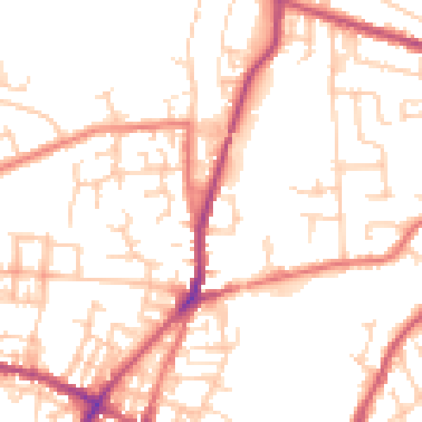
Daytime· 07:00 – 23:00
51.3dB

Night-time· 23:00 – 07:00
41.4dB