24 Dunster Avenue, Rochdale, OL11 3RD
About 24 Dunster Avenue
24 Dunster Avenue is a three-bedroom mid-terrace house in Rochdale (OL11 3RD). It has a recorded floor area of 129 m² (around 1389 sq ft), construction records dating it to 1900-1929 and council tax band A. The latest certificate (August 2017) shows a G (score 15), near the bottom of the EPC scale. The recommended improvements would lift it to B (score 81), a 5-band jump.
On energy efficiency it sits in the bottom 10% of properties in this postcode — significant headroom for improvement. Today's modelled estimate of £159,000 sits 71% above the 2017 sale of £93,000. On a £-per-square-foot basis, the last sale (£67/sq ft) was about 45.7% above the typical sold price in the postcode. On the market in September 2017 and unlisted since — roughly 9 years.
What this property has
Inside
- Bedrooms3
- Bathrooms1
- Dining roomYes
Outside
- Private gardenYes
Everything you need to know about 24 Dunster Avenue
The true value, the hidden risks and the full sale history, in one report.
30-day money-back guarantee

The data behind every report


Energy performance
24 Dunster Avenue sits at the bottom of the postcode for energy efficiency — meaningful headroom to improve.
EPC Rating
Planning history
24 Dunster Avenue has no planning applications on record.
Notable planning nearby
4applications of note in the surrounding area
We flagged 1 thing worth checking at 24 Dunster Avenue
Independent checks surfaced things a buyer would want to understand before offering. The report explains each one in full, with the underlying data and what to ask.
- Signs of HMO activity in the area
30-day money-back guarantee
Sales history & valuation
24 Dunster Avenue valuation sits well clear of the typical sold price in this postcode.
£159,000
Modelled from EPC, postcode comparables.
£93,000
Recorded with HM Land Registry.
Sales timeline
28 September 2017Most recent
£93,000
Median price across the last 5 sales in OL11 3RD: £100,000 (2025–2011).
Nearby sales in OL11 3RD
Versus other Dunster Avenue homes
24 Dunster Avenue is notably below the street on epc rating.
Price per m²
£721
Street avg £585
Floor Area
129 m²
Street avg 128 m²
Habitable Rooms
5 rooms
Street avg 6 rooms
CO₂ Emissions
15.0 t/year
Street avg 6.7 t/year
Everything you need to know about 24 Dunster Avenue
The true value, the hidden risks and the full sale history, in one report.
30-day money-back guarantee
The data behind every report
Similar properties nearby
1 Cotaline Close
OL11 3PH
1 Chevron Close
OL11 3LZ
1 Buckley Barn Court, Heape Street
OL11 3BG
1 Castleway
OL11 3BP
1 Castlemere Street
OL11 3SW
1 Abingdon Close
OL11 3PU
1 Ashton Street
OL11 3RT
1 Cover Drive
OL11 3DB
The neighbourhood at a glance
Rail-style transport is unusually close for this postcode.
Crime
1/mo
Steady year-on-year across the wider district.
Nearest stop
0.1 km
Highfield Hospital — bus stop.
Closest school
0.3 km
Ashfield Valley Primary School. 32 schools nearby.
Go deeper on the local area
The full report breaks down crime, transport links, schools and air quality in depth.
Road noise across the postcode
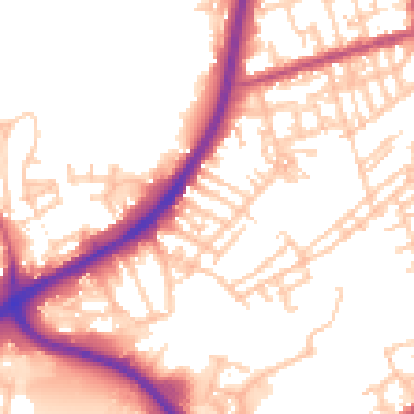
Daytime· 07:00 – 23:00
53.8dB

Night-time· 23:00 – 07:00
45.5dB