7 Bideford Road, Rochdale, OL11 3HU
About 7 Bideford Road
7 Bideford Road is a one-bedroom mid-terrace house in Rochdale (OL11 3HU). It has a recorded floor area of 38 m² (around 409 sq ft), construction records dating it to 1976-1982 and council tax band A. Tenure is freehold. The latest certificate (April 2025) shows a C (score 72). The recommended improvements would lift it to A (score 92), a 2-band jump. The home occupies a cul-de-sac position.
It changed hands recently, sold August 2025 for £110,000. Its energy rating outperforms most of the postcode (better than 71% of similar EPCs). Across 1997–2025, sale prices on this property compounded at 5% per year.
What this property has
Inside
- Bedrooms1
- Bathrooms1
Outside
- Private gardenFront
- Cul-de-sacYes
Building
- TenureFreehold
- RefurbishedYes
Everything you need to know about 7 Bideford Road
The true value, the hidden risks and the full sale history, in one report.
30-day money-back guarantee

The data behind every report


Energy performance
Recommended upgrades on file would lift this property by multiple EPC bands.
EPC Rating
Planning history
7 Bideford Road has no planning applications on record.
Notable planning nearby
4applications of note in the surrounding area
We flagged 1 thing worth checking at 7 Bideford Road
Independent checks surfaced things a buyer would want to understand before offering. The report explains each one in full, with the underlying data and what to ask.
- Signs of HMO activity in the area
30-day money-back guarantee
Sales history & valuation
7 Bideford Road has more than quadrupled in price since its earliest registered sale in 1997.
£119,000
Modelled from EPC, postcode comparables and a sale-price growth of 5.0% per year over 29 years.
£110,000
Growth on file: 5.0% per year over 29 years.
Sales timeline
25 August 2025Most recent
£110,000
+39.2%over 17 years9 September 2007
£79,000
+31.7%over 2 years18 August 2005
£60,000
+50.0%over 1 year6 April 2004
£40,000
+48.1%over 6 years21 November 1997
£27,000
31 January 1997
£27,000
Versus other Bideford Road homes
On floor area, 7 Bideford Road runs well behind the street norm.
EPC Rating
72 (C)
Street avg 66 (D)
Floor Area
38 m²
Street avg 42 m²
CO₂ Emissions
1.7 t/year
Street avg 2.2 t/year
Habitable Rooms
2 rooms
Street avg 2 rooms
Everything you need to know about 7 Bideford Road
The true value, the hidden risks and the full sale history, in one report.
30-day money-back guarantee
The data behind every report
Similar properties nearby
The neighbourhood at a glance
Rail-style transport is unusually close for this postcode.
Crime
1/mo
Steady year-on-year across the wider district.
Nearest stop
0.1 km
Abbott Street — bus stop.
Closest school
0.6 km
Matthew Moss High School. 29 schools nearby.
Go deeper on the local area
The full report breaks down crime, transport links, schools and air quality in depth.
Road noise across the postcode
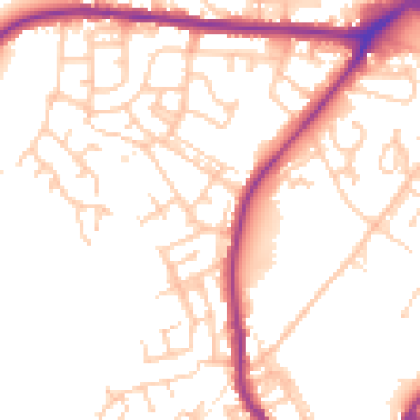
Daytime· 07:00 – 23:00
52.8dB

Night-time· 23:00 – 07:00
44.6dB