5 Cover Drive, Rochdale, OL11 3DB
About 5 Cover Drive
5 Cover Drive is a four-bedroom detached house in Rochdale (OL11 3DB). It has a recorded floor area of 114 m² (around 1227 sq ft), construction records dating it to 2003-2006 and council tax band D. The latest certificate (November 2025) shows a C (score 79), near the top of the C band. The rating has held steady at C across 2 certificates since October 2015. Between certificates, window efficiency dropped from Good to Average and lighting dropped from Very Good to Average. The recommended improvements would push it to B (score 83). This certificate was lodged in the last six months, so the rating reflects current condition. Records show the property has been extended at some point in its history. The home occupies a cul-de-sac position.
Across 2007–2016, sale prices on this property compounded at -1.8% per year. Today's modelled estimate of £316,000 sits 58% above the 2016 sale of £200,000. On a £-per-square-foot basis, the last sale (£163/sq ft) was about 22.2% below the postcode norm. 9 years since the last transfer (December 2016).
What this property has
Inside
- Bedrooms4
- Bathrooms3
- Dining roomYes
- EnsuiteYes
Outside
- Private gardenYes
- DrivewayYes
- Cul-de-sacYes
Building
- Heating systemGas
- Previously extendedYes
Everything you need to know about 5 Cover Drive
The true value, the hidden risks and the full sale history, in one report.
30-day money-back guarantee

The data behind every report


Energy performance
The EPC has just been inspected, so the rating reflects current condition.
EPC Rating
Property Improvements
Changes detected from historical EPC data
Loft insulation upgraded to recommended levels
Planning history
5 Cover Drive has no planning applications on record.
Notable planning nearby
4applications of note in the surrounding area
We flagged 1 thing worth checking at 5 Cover Drive
Independent checks surfaced things a buyer would want to understand before offering. The report explains each one in full, with the underlying data and what to ask.
- Signs of HMO activity in the area
30-day money-back guarantee
Sales history & valuation
5 Cover Drive valuation sits well clear of the typical sold price in this postcode.
£316,000
Modelled from EPC, postcode comparables and a sale-price growth of -1.8% per year over 9 years.
£200,000
Growth on file: -1.8% per year over 9 years.
Sales timeline
9 December 2016Most recent
£200,000
-14.9%over 9 years31 October 2007
£234,950
Median price across the last 5 sales in OL11 3DB: £277,500 (2025–2023).
Versus other Cover Drive homes
EPC Rating for 5 Cover Drive runs comfortably ahead of the street norm.
Price per m²
£1,754
Street avg £2,216
Floor Area
114 m²
Street avg 105 m²
Habitable Rooms
7 rooms
Street avg 6 rooms
CO₂ Emissions
2.5 t/year
Street avg 2.8 t/year
Everything you need to know about 5 Cover Drive
The true value, the hidden risks and the full sale history, in one report.
30-day money-back guarantee
The data behind every report
Similar properties nearby
The neighbourhood at a glance
Rail-style transport is unusually close for this postcode.
Crime
1/mo
Steady year-on-year across the wider district.
Nearest stop
0.3 km
Keswick Street — bus stop.
Closest school
0.2 km
St Edward's Church of England Primary School. 27 schools nearby.
Go deeper on the local area
The full report breaks down crime, transport links, schools and air quality in depth.
Road noise across the postcode
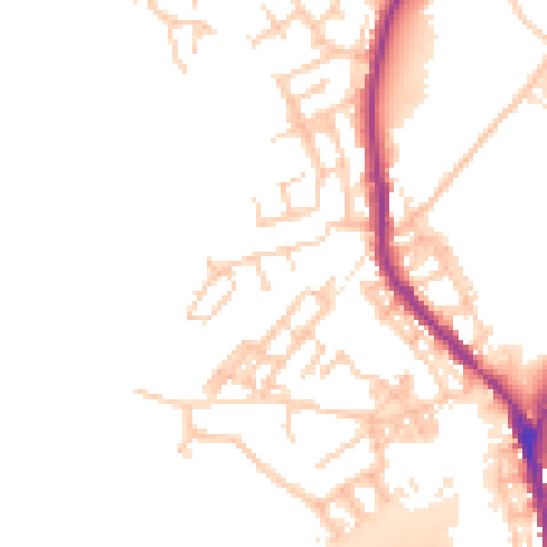
Daytime· 07:00 – 23:00
51.1dB

Night-time· 23:00 – 07:00
44.1dB