2 Cover Drive, Rochdale, OL11 3DB
About 2 Cover Drive
2 Cover Drive is a four-bedroom detached house in Rochdale (OL11 3DB). It has a recorded floor area of 107 m² (around 1152 sq ft), construction records dating it to 2007-2011 and council tax band D. The latest certificate (April 2021) shows a C (score 79), near the top of the C band. The rating has held steady at C across 2 certificates since April 2011. Between certificates, lighting went from Good to Very Good; while roof efficiency dropped from Very Good to Good. The recommended improvements would push it to B (score 89).
Today's modelled estimate of £322,000 is 28.8% above the 2021 sale price. Last sale on file: £250,000 in August 2021. That sale was during the post-pandemic price surge, when transactions cleared materially above pre-2020 trend.
What this property has
Inside
- Bedrooms4
- Bathrooms2
- EnsuiteYes
Outside
- Private gardenYes
- GarageYes
Everything you need to know about 2 Cover Drive
The true value, the hidden risks and the full sale history, in one report.
30-day money-back guarantee

The data behind every report


Energy performance
EPC Rating
Property Improvements
Changes detected from historical EPC data
More low energy lighting installed
Planning history
2 Cover Drive has no planning applications on record.
Notable planning nearby
4applications of note in the surrounding area
We flagged 1 thing worth checking at 2 Cover Drive
Independent checks surfaced things a buyer would want to understand before offering. The report explains each one in full, with the underlying data and what to ask.
- Signs of HMO activity in the area
30-day money-back guarantee
Sales history & valuation
2 Cover Drive changed hands twice within eighteen months — unusual for the area.
£322,000
Modelled from EPC, postcode comparables and a sale-price growth of -0.1% per year over 14 years.
£250,000
Growth on file: -0.1% per year over 14 years.
Sales timeline
4 August 2021Most recent
£250,000
+16.3%over 10 months24 September 2020
£215,000
-15.7%over 13 years28 May 2007
£254,950
Median price across the last 5 sales in OL11 3DB: £277,500 (2025–2023).
Versus other Cover Drive homes
2 Cover Drive outperforms the street on epc rating by a wide margin.
Price per m²
£2,336
Street avg £2,179
Floor Area
107 m²
Street avg 106 m²
Habitable Rooms
6 rooms
Street avg 6 rooms
CO₂ Emissions
2.5 t/year
Street avg 2.8 t/year
Everything you need to know about 2 Cover Drive
The true value, the hidden risks and the full sale history, in one report.
30-day money-back guarantee
The data behind every report
Similar properties nearby
The neighbourhood at a glance
Rail-style transport is unusually close for this postcode.
Crime
1/mo
Steady year-on-year across the wider district.
Nearest stop
0.3 km
Keswick Street — bus stop.
Closest school
0.2 km
St Edward's Church of England Primary School. 27 schools nearby.
Go deeper on the local area
The full report breaks down crime, transport links, schools and air quality in depth.
Road noise across the postcode
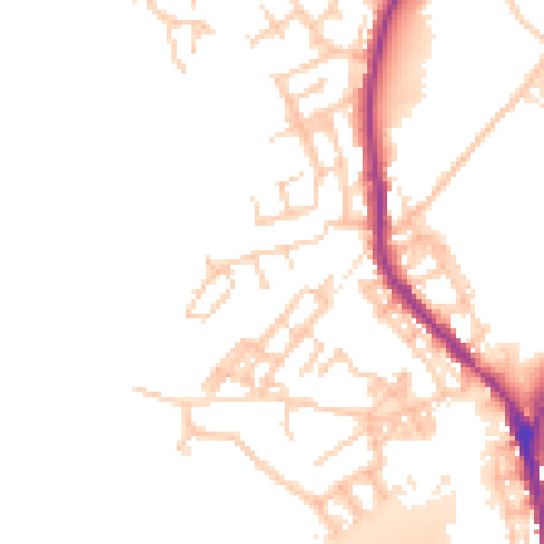
Daytime· 07:00 – 23:00
51.1dB

Night-time· 23:00 – 07:00
44.1dB