11 Cover Drive, Rochdale, OL11 3DB
About 11 Cover Drive
11 Cover Drive is a four-bedroom detached house in Rochdale (OL11 3DB). It has a recorded floor area of 143 m² (around 1544 sq ft), construction records dating it to 2003-2006 and council tax band D. The latest certificate (January 2012) shows a C (score 75), near the top of the C band. The latest certificate is from January 2012, so improvements made since then won't be reflected.
Held since October 2007 — that's 19 years off the open market, well above the local norm. That sale landed at the peak of the pre-credit-crunch market, which is a useful reference point when interpreting the price. At 143 m² the property is well over the postcode median (104 m² across 16 EPCs), placing it in the larger end of the local stock. Today's modelled estimate of £323,000 is 38.7% above the 2007 sale price. On a £-per-square-foot basis, the last sale (£151/sq ft) was about 27.7% below the postcode norm.
What this property has
Inside
- Bedrooms4
- Bathrooms4
Everything you need to know about 11 Cover Drive
The true value, the hidden risks and the full sale history, in one report.
30-day money-back guarantee

The data behind every report


Energy performance
11 Cover Drive's EPC is over a decade old — improvements since won't be reflected.
EPC Expired
This certificate is over 10 years old and is no longer valid.Expired 05 Jan 2022
EPC Rating
Planning history
11 Cover Drive has no planning applications on record.
Notable planning nearby
4applications of note in the surrounding area
We flagged 1 thing worth checking at 11 Cover Drive
Independent checks surfaced things a buyer would want to understand before offering. The report explains each one in full, with the underlying data and what to ask.
- Signs of HMO activity in the area
30-day money-back guarantee
Sales history & valuation
The latest sale landed at the peak of the pre-credit-crunch market — a high-water reference point.
£323,000
Modelled from EPC, postcode comparables.
£232,950
Recorded with HM Land Registry.
Sales timeline
31 October 2007Most recent
£232,950
Median price across the last 5 sales in OL11 3DB: £277,500 (2025–2023).
Versus other Cover Drive homes
On price per m², 11 Cover Drive runs well behind the street norm.
Price per m²
£1,624
Street avg £2,224
Floor Area
143 m²
Street avg 103 m²
Habitable Rooms
6 rooms
Street avg 6 rooms
CO₂ Emissions
3.3 t/year
Street avg 2.7 t/year
Everything you need to know about 11 Cover Drive
The true value, the hidden risks and the full sale history, in one report.
30-day money-back guarantee
The data behind every report
Similar properties nearby
The neighbourhood at a glance
Rail-style transport is unusually close for this postcode.
Crime
1/mo
Steady year-on-year across the wider district.
Nearest stop
0.3 km
Keswick Street — bus stop.
Closest school
0.2 km
St Edward's Church of England Primary School. 27 schools nearby.
Go deeper on the local area
The full report breaks down crime, transport links, schools and air quality in depth.
Road noise across the postcode
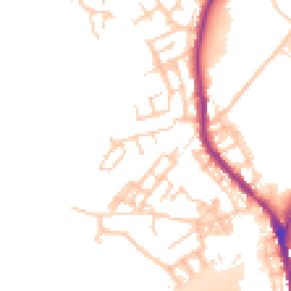
Daytime· 07:00 – 23:00
51.1dB

Night-time· 23:00 – 07:00
44.1dB