5 Clifford Street, Rochdale, OL11 1NG
About 5 Clifford Street
5 Clifford Street is a semi-detached house in Rochdale (OL11 1NG). It has a recorded floor area of 84 m² (around 904 sq ft), construction records dating it to 1996-2002 and council tax band C. The latest certificate (December 2022) shows a C (score 80), near the top of the C band. The recommended improvements would push it to B (score 83).
At 84 m² the property is well over the postcode median (63 m² across 31 EPCs), placing it in the larger end of the local stock. One planning record on file: an extension approved in 2024. Past consents include an extension, meaningful when judging how the property has evolved.
Everything you need to know about 5 Clifford Street
The true value, the hidden risks and the full sale history, in one report.
30-day money-back guarantee

The data behind every report


Energy performance
EPC Rating
Planning history
- Sept 2024ExtensionFullIn report
Extension: Single storey · Side of property
Single storey side elevation to improve facilities for a registered disabled person
- Agent
- Rochdale Borough Council Property Services
- Reference
- 24/00723/HOUS
We flagged 2 things worth checking at 5 Clifford Street
Independent checks surfaced things a buyer would want to understand before offering. The report explains each one in full, with the underlying data and what to ask.
- Signs of HMO activity in the area
- Larger development activity nearby
30-day money-back guarantee
Sales history & valuation
5 Clifford Street has no Land Registry sales on file, suggesting it has stayed in the same hands since registration began.
£175,000
Modelled from EPC, postcode comparables.
No sales recorded with HM Land Registry
That can mean the property has never traded since the registry began publishing in 1995, was a new build that hasn't been registered yet, or is held in the same hands long-term.
Versus other Clifford Street homes
Floor Area for 5 Clifford Street runs comfortably ahead of the street norm.
EPC Rating
80 (C)
Street avg 80 (C)
Floor Area
84 m²
Street avg 72 m²
CO₂ Emissions
2.3 t/year
Street avg 2.0 t/year
Habitable Rooms
4 rooms
Street avg 5 rooms
Everything you need to know about 5 Clifford Street
The true value, the hidden risks and the full sale history, in one report.
30-day money-back guarantee
The data behind every report
Similar properties nearby
The neighbourhood at a glance
Rail-style transport is unusually close for this postcode.
Crime
1/mo
Steady year-on-year across the wider district.
Nearest stop
0.2 km
Salkeld Street — bus stop.
Closest school
0.4 km
Deeplish Primary Academy. 32 schools nearby.
Go deeper on the local area
The full report breaks down crime, transport links, schools and air quality in depth.
Road noise across the postcode
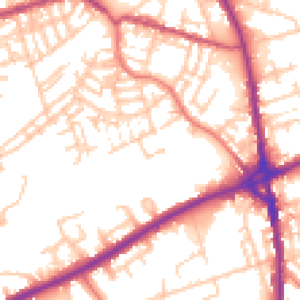
Daytime· 07:00 – 23:00
54.5dB

Night-time· 23:00 – 07:00
44.9dB