5 Wellfield Place, Rochdale, OL11 1AR
About 5 Wellfield Place
5 Wellfield Place is a mid-terrace house in Rochdale (OL11 1AR). It has a recorded floor area of 90 m² (around 969 sq ft), construction records dating it to 1930-1949 and council tax band A. The latest certificate (November 2014) shows a C (score 70). The recommended improvements would push it to B (score 86). The latest certificate is from November 2014, so improvements made since then won't be reflected.
At 90 m² it's 26.8% larger than the typical home in the postcode (71 m² median across 5 EPCs). Across 2011–2020, sale prices on this property compounded at 3.6% per year. Today's modelled estimate of £128,000 is 40.7% above the 2020 sale price. Most recent transfer: September 2020 at £91,000.
Everything you need to know about 5 Wellfield Place
The true value, the hidden risks and the full sale history, in one report.
30-day money-back guarantee

The data behind every report


Energy performance
5 Wellfield Place's EPC is over a decade old — improvements since won't be reflected.
EPC Expired
This certificate is over 10 years old and is no longer valid.Expired 18 Nov 2024
EPC Rating
Planning history
5 Wellfield Place has no planning applications on record.
Notable planning nearby
5applications of note in the surrounding area
We flagged 2 things worth checking at 5 Wellfield Place
Independent checks surfaced things a buyer would want to understand before offering. The report explains each one in full, with the underlying data and what to ask.
- Signs of HMO activity in the area
- Larger development activity nearby
30-day money-back guarantee
Sales history & valuation
5 Wellfield Place saw 3 transfers in just over a decade — high turnover for the postcode.
£128,000
Modelled from EPC, postcode comparables and a sale-price growth of 3.6% per year over 9 years.
£91,000
Growth on file: 3.6% per year over 9 years.
Sales timeline
29 September 2020Most recent
£91,000
+1.1%over 6 years20 May 2014
£90,000
+36.4%over 2 years2 October 2011
£66,000
Median price across the last 5 sales in OL11 1AR: £83,000 (2020–2007).
Nearby sales in OL11 1AR
Versus other Wellfield Place homes
Years Held for 5 Wellfield Place lags the street by a wide margin.
Price per m²
£1,011
Street avg £995
Floor Area
90 m²
Street avg 71 m²
Habitable Rooms
5 rooms
Street avg 5 rooms
CO₂ Emissions
2.9 t/year
Street avg 2.7 t/year
Everything you need to know about 5 Wellfield Place
The true value, the hidden risks and the full sale history, in one report.
30-day money-back guarantee
The data behind every report
Similar properties nearby
The neighbourhood at a glance
Rail-style transport is unusually close for this postcode.
Crime
1/mo
Steady year-on-year across the wider district.
Nearest stop
0.1 km
Clifton Street — bus stop.
Closest school
0.3 km
Deeplish Primary Academy. 34 schools nearby.
Go deeper on the local area
The full report breaks down crime, transport links, schools and air quality in depth.
Road noise across the postcode
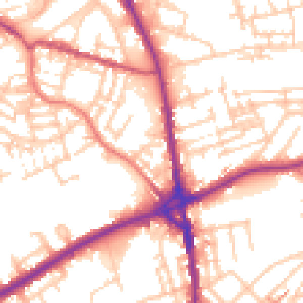
Daytime· 07:00 – 23:00
54.6dB

Night-time· 23:00 – 07:00
44.8dB