11 Wellfield Hall, Wellfield Place, Rochdale, OL11 1AN
About 11 Wellfield Hall
11 Wellfield Hall is a semi-detached house in Rochdale (OL11 1AN). It has a recorded floor area of 387 m² (around 4166 sq ft), construction records dating it to before 1900 and council tax band B. The latest certificate (August 2016) shows an E (score 52), well below the UK norm with real room to improve. The recommended improvements would push it to D (score 68).
Untraded for 22 years, with the last transfer in July 2004. Today's modelled estimate of £244,000 sits 95.2% above the 2004 sale of £124,995. 3 planning records sit against the property, 2 approved, 1 refused. Past consents include an extension, meaningful when judging how the property has evolved.
Everything you need to know about 11 Wellfield Hall
The true value, the hidden risks and the full sale history, in one report.
30-day money-back guarantee

The data behind every report


Energy performance
11 Wellfield Hall's carbon output runs well above what efficient homes in the postcode produce.
EPC Rating
Planning history
11 Wellfield Hall has 3 separate extension applications on the council record.
- Sept 2010ExtensionFullIn report
Extension: Single storey · Side of property
Erection Of A Single Storey Side Extension (Resubmission Of D53171)
- Documents
- 1 doc on file
- Reference
- 10/D53412
- Jun 2010ExtensionFullIn report
Extension: Single storey · Side of property
Erection Of A Single Storey Side Extension
- Documents
- 1 doc on file
- Reference
- 10/D53171
We flagged 2 things worth checking at 11 Wellfield Hall
Independent checks surfaced things a buyer would want to understand before offering. The report explains each one in full, with the underlying data and what to ask.
- Signs of HMO activity in the area
- Larger development activity nearby
30-day money-back guarantee
Sales history & valuation
£244,000
Modelled from EPC, postcode comparables.
£124,995
Recorded with HM Land Registry.
Sales timeline
22 July 2004Most recent
£124,995
Median price across the last 1 sales in OL11 1AN: £38,000 (2000–2000).
Nearby sales in OL11 1AN
Everything you need to know about 11 Wellfield Hall
The true value, the hidden risks and the full sale history, in one report.
30-day money-back guarantee
The data behind every report
Similar properties nearby
The neighbourhood at a glance
Rail-style transport is unusually close for this postcode.
Crime
1/mo
Steady year-on-year across the wider district.
Nearest stop
0.1 km
Clifton Street — bus stop.
Closest school
0.3 km
Lowerplace Primary School. 34 schools nearby.
Go deeper on the local area
The full report breaks down crime, transport links, schools and air quality in depth.
Road noise across the postcode
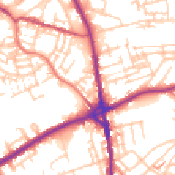
Daytime· 07:00 – 23:00
54.6dB

Night-time· 23:00 – 07:00
44.9dB