1b, Broadhurst Gardens, Camden, London, NW6 3QX
About 1b
1b is an end-of-terrace house in Camden, London, London (NW6 3QX). It has a recorded floor area of 101 m² (around 1087 sq ft), construction records dating it to 1900-1929 and council tax band F. The latest certificate (December 2020) shows a C (score 71).
Held since April 2003 — that's 23 years off the open market, well above the local norm. At 101 m² the property is well over the postcode median (37 m² across 32 EPCs), placing it in the larger end of the local stock.
Everything you need to know about 1b
The true value, the hidden risks and the full sale history, in one report.
30-day money-back guarantee

The data behind every report


Energy performance
EPC Rating
Planning history
1b has no planning applications on record.
Notable planning nearby
1applications of note in the surrounding area
Sales history & valuation
£2,043,000
Modelled from EPC, postcode comparables.
£2,200,000
Recorded with HM Land Registry.
Sales timeline
9 April 2003Most recent
£2,200,000
Median price across the last 1 sales in NW6 3QX: £4,700,000 (2022–2022).
Nearby sales in NW6 3QX
Versus other Broadhurst Gardens homes
1b outperforms the street on floor area by a wide margin.
EPC Rating
71 (C)
Street avg 72 (C)
Floor Area
101 m²
Street avg 48 m²
CO₂ Emissions
3.3 t/year
Street avg 1.7 t/year
Habitable Rooms
4 rooms
Street avg 2 rooms
Everything you need to know about 1b
The true value, the hidden risks and the full sale history, in one report.
30-day money-back guarantee
The data behind every report
Similar properties nearby
1 Woodchurch Road, Camden
NW6 3PL
1 Wavel Mews, Camden
NW6 3AB
10 12, Flat E, Cleve Road
NW6 3RR
1 Heath Villas, Greencroft Gardens, Camden
NW6 3LW
10 12, Cleve Road, Camden
NW6 3RR
10 12, Flat B, Cleve Road
NW6 3RR
10 12, Flat C, Cleve Road
NW6 3RR
1 Broadhurst Gardens, Camden
NW6 3QX
The neighbourhood at a glance
Rail-style transport is unusually close for this postcode.
Crime
8/mo
Rising year-on-year across the wider district.
Nearest stop
0.1 km
Canfield Gdns / Finchley Road — bus stop.
Closest school
0.2 km
Holy Trinity CofE Primary School, NW3. 69 schools nearby.
Go deeper on the local area
The full report breaks down crime, transport links, schools and air quality in depth.
Road noise across the postcode
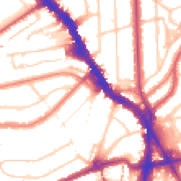
Daytime· 07:00 – 23:00
54.4dB
Night-time· 23:00 – 07:00
43.5dB