3 Heath Villas, Greencroft Gardens, Camden, London, NW6 3LW
About 3 Heath Villas
3 Heath Villas is a three-bedroom mid-terrace house in Camden, London, London (NW6 3LW). It has a recorded floor area of 91 m² (around 980 sq ft), construction records dating it to 1996-2002 and council tax band G. The latest certificate (May 2019) shows a D (score 67), on the cusp of jumping into the C band. Earlier certificates rated it C (October 2008); the latest reading is one band lower. Between certificates, roof efficiency went from Average to Good and lighting went from Very Poor to Poor. The recommended improvements would lift it to B (score 84), a 2-band jump. Other recorded features include a balcony. The home occupies a cul-de-sac position.
Untraded for 25 years, with the last transfer in April 2001. Only one transfer is on record with HM Land Registry, suggesting it has stayed in the same hands for a long time. Today's modelled estimate of £1,114,000 sits 137% above the 2001 sale of £470,000.
What this property has
Inside
- Bedrooms3
- Bathrooms3
- Open-plan layoutYes
- CloakroomYes
- EnsuiteYes
Outside
- BalconyYes
- Cul-de-sacYes
Everything you need to know about 3 Heath Villas
The true value, the hidden risks and the full sale history, in one report.
30-day money-back guarantee

The data behind every report


Energy performance
Recommended upgrades on file would lift this property by multiple EPC bands.
EPC Rating
Property Improvements
Changes detected from historical EPC data
Loft insulation upgraded to recommended levels
Planning history
3 Heath Villas has no planning applications on record.
Notable planning nearby
1applications of note in the surrounding area
Sales history & valuation
£1,114,000
Modelled from EPC, postcode comparables.
£470,000
Recorded with HM Land Registry.
Sales timeline
18 April 2001Most recent
£470,000
Median price across the last 2 sales in NW6 3LW: £512,500 (2005–2000).
Nearby sales in NW6 3LW
Everything you need to know about 3 Heath Villas
The true value, the hidden risks and the full sale history, in one report.
30-day money-back guarantee
The data behind every report
Similar properties nearby
1 Wavel Mews, Camden
NW6 3AB
1 Heath Villas, Greencroft Gardens, Camden
NW6 3LW
1 Banister Mews, Camden
NW6 3RQ
10 12, Flat E, Cleve Road
NW6 3RR
1 Aberdare Gardens, Camden
NW6 3AJ
10 12, Cleve Road, Camden
NW6 3RR
10 12, Flat B, Cleve Road
NW6 3RR
10 12, Flat C, Cleve Road
NW6 3RR
The neighbourhood at a glance
Rail-style transport is unusually close for this postcode.
Crime
8/mo
Rising year-on-year across the wider district.
Nearest stop
0.1 km
Canfield Gdns / Finchley Road — bus stop.
Closest school
0.2 km
Holy Trinity CofE Primary School, NW3. 69 schools nearby.
Go deeper on the local area
The full report breaks down crime, transport links, schools and air quality in depth.
Road noise across the postcode
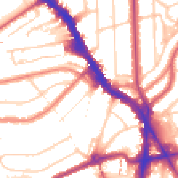
Daytime· 07:00 – 23:00
54.4dB
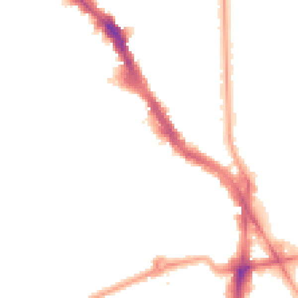
Night-time· 23:00 – 07:00
43.6dB