3 Honeybourne Road, Camden, London, NW6 1HH
About 3 Honeybourne Road
3 Honeybourne Road is a six-bedroom mid-terrace house in Camden, London, London (NW6 1HH). It has a recorded floor area of 352 m² (around 3789 sq ft), construction records dating it to before 1900 and council tax band H. The latest certificate (August 2020) shows a D (score 67), on the cusp of jumping into the C band. When first surveyed in October 2014 the rating was E, the property has climbed 1 band since. Between certificates, wall efficiency went from Very Poor to Poor and lighting went from Average to Very Good. The recommended improvements would push it to C (score 79).
7 planning records sit against the property, 3 approved, 3 refused. Past consents include an extension and new windows, meaningful when judging how the property has evolved. Across 1999–2021, sale prices on this property compounded at 7.7% per year. On a £-per-square-foot basis, the last sale (£1,227/sq ft) was about 30.4% above the typical sold price in the postcode. Most recent transfer: June 2021 at £4,650,000. That sale was during the post-pandemic price surge, when transactions cleared materially above pre-2020 trend. 6 bedrooms is on the larger side for this postcode, where 4 is the typical count.
What this property has
Inside
- Bedrooms6
- Bathrooms5
Everything you need to know about 3 Honeybourne Road
The true value, the hidden risks and the full sale history, in one report.
30-day money-back guarantee

The data behind every report


Energy performance
3 Honeybourne Road's carbon output runs well above what efficient homes in the postcode produce.
EPC Rating
Property Improvements
Changes detected from historical EPC data
Glazing upgraded to newer, more efficient type
Wall insulation improved
More low energy lighting installed
Planning history
3 Honeybourne Road has 3 separate extension applications on the council record.
- Jul 2017Tree WorksTreesIn report
REAR GARDEN: 1 x Winter Flowering Cherry - Fell to ground level
- Documents
- 3 docs on file
- Reference
- 2017/3041/T
- Mar 2016Loft ConversionOutlineIn report
Formation of an inverted dormer at roof level to create a balcony and associated rooflight.
Extension- Documents
- 7 docs on file
- Reference
- 2015/5989/P
What's in 3 Honeybourne Road, Camden, London, NW6 1HH's planning history?
5 more on this property, plus refusals, disputes and full decisions nearby, in the report.
Sales history & valuation
Price for 3 Honeybourne Road has grown more than fourfold since the 1999 starting point.
£5,022,000
Modelled from EPC, postcode comparables and a sale-price growth of 7.7% per year over 22 years.
£4,650,000
Growth on file: 7.7% per year over 22 years.
Sales timeline
22 June 2021Most recent
£4,650,000
+38.8%over 6 years2 March 2015
£3,350,000
+260.2%over 15 years10 November 1999
£930,000
Median price across the last 4 sales in NW6 1HH: £3,425,000 (2022–2004).
Nearby sales in NW6 1HH
Everything you need to know about 3 Honeybourne Road
The true value, the hidden risks and the full sale history, in one report.
30-day money-back guarantee
The data behind every report
Similar properties nearby
1 Honeybourne Road, Camden
NW6 1HH
1 Alvanley Gardens, Camden
NW6 1JD
1 Dornfell Street, Camden
NW6 1QN
1 Glenbrook Road, Camden
NW6 1TW
1 Burrard Road, Camden
NW6 1DA
1 Ingham Road, Camden
NW6 1DG
1 Norman Terrace, Agamemnon Road, Camden
NW6 1BU
1 Fawley Road, Camden
NW6 1SL
The neighbourhood at a glance
Rail-style transport is unusually close for this postcode.
Crime
8/mo
Rising year-on-year across the wider district.
Nearest stop
0.1 km
Dennington Park Road — bus stop.
Closest school
0.3 km
Emmanuel Church of England Primary School. 60 schools nearby.
Go deeper on the local area
The full report breaks down crime, transport links, schools and air quality in depth.
Road noise across the postcode
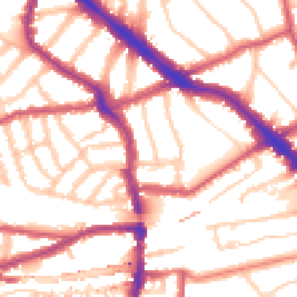
Daytime· 07:00 – 23:00
54.5dB

Night-time· 23:00 – 07:00
43.7dB