10 Burrard Road, Camden, London, NW6 1DB
About 10 Burrard Road
10 Burrard Road is a four-bedroom mid-terrace house in Camden, London, London (NW6 1DB). It has a recorded floor area of 116 m² (around 1249 sq ft), construction records dating it to 1900-1929 and council tax band F. Other recorded features include notable views. The latest certificate (December 2024) shows a C (score 69), just inside the C band. The recommended improvements would push it to B (score 86).
Across 1998–2025, sale prices on this property compounded at 6.4% per year. Today's modelled estimate of £1,386,000 is 18.5% below the 2025 sale of £1,700,000, an unusual pattern given regional price growth and worth checking against the EPC condition. On a £-per-square-foot basis, the last sale (£1,362/sq ft) was about 126.5% above the typical sold price in the postcode. At 116 m² the property is well over the postcode median (59 m² across 21 EPCs), placing it in the larger end of the local stock. A recent sale: £1,700,000 in September 2025. 3 planning records sit against the property, 2 approved, 1 refused. Past consents include a loft conversion, meaningful when judging how the property has evolved.
What this property has
Inside
- Bedrooms4
- Bathrooms3
- EnsuiteYes
Outside
- Private gardenSouth-east-facing
- Notable viewsYes
Everything you need to know about 10 Burrard Road
The true value, the hidden risks and the full sale history, in one report.
30-day money-back guarantee

The data behind every report


Energy performance
EPC Rating
Planning history
Planning history includes both a loft conversion and an extension — the classic family-home expansion.
- May 2016FullIn report
Retention of the railings around the perimeter of the roof of the rear extension.
Retrospective- Documents
- 4 docs on file
- Reference
- 2016/0638/P
- Jul 2014ExtensionOutlineIn report
Extension: Single storey · Rear of property
Erection of a single storey rear extension
- Documents
- 2 docs on file
- Reference
- 2014/4789/P
What's in 10 Burrard Road, Camden, London, NW6 1DB's planning history?
1 more on this property, plus refusals, disputes and full decisions nearby, in the report.
Sales history & valuation
Latest sale on 10 Burrard Road was the highest on Land Registry record across the postcode.
£1,386,000
Modelled from EPC, postcode comparables and a sale-price growth of 6.4% per year over 27 years.
£1,700,000
Growth on file: 6.4% per year over 27 years.
Sales timeline
9 September 2025Most recent
£1,700,000
+230.1%over 21 years22 July 2004
£515,000
+63.5%over 6 years21 May 1998
£315,000
Median price across the last 5 sales in NW6 1DB: £925,000 (2024–2017).
Nearby sales in NW6 1DB
12 Burrard Road, Camden, London, NW6 1DB
Sold May 2024
£1,270,0006 Burrard Road, Camden, London, NW6 1DB
Sold Nov 2021
£925,00016 Burrard Road, Camden, London, NW6 1DB
Sold Dec 2020
£1,550,000Ground Floor Flat, 26 Burrard Road, London, NW6 1DB
Sold Aug 2018
£695,000Ground Floor Flat, 6 Burrard Road, London, NW6 1DB
Sold May 2015
£550,000
Versus other Burrard Road homes
Price per m² for 10 Burrard Road runs comfortably ahead of the street norm.
Price per m²
£14,655
Street avg £8,351
Floor Area
116 m²
Street avg 156 m²
Habitable Rooms
6 rooms
Street avg 7 rooms
CO₂ Emissions
3.8 t/year
Street avg 6.0 t/year
Everything you need to know about 10 Burrard Road
The true value, the hidden risks and the full sale history, in one report.
30-day money-back guarantee
The data behind every report
Similar properties nearby
1 Burrard Road, Camden
NW6 1DA
1 Ingham Road, Camden
NW6 1DG
1 Norman Terrace, Agamemnon Road, Camden
NW6 1BU
1 Glenbrook Road, Camden
NW6 1TW
1 Dornfell Street, Camden
NW6 1QN
1 Berridge Mews, Camden
NW6 1RF
1 Orestes Mews, Camden
NW6 1AP
1 Minton Mews, Camden
NW6 1XX
The neighbourhood at a glance
Rail-style transport is unusually close for this postcode.
Crime
8/mo
Rising year-on-year across the wider district.
Nearest stop
0.1 km
West Hampstead Police Station — bus stop.
Closest school
0.2 km
Emmanuel Church of England Primary School. 56 schools nearby.
Go deeper on the local area
The full report breaks down crime, transport links, schools and air quality in depth.
Road noise across the postcode
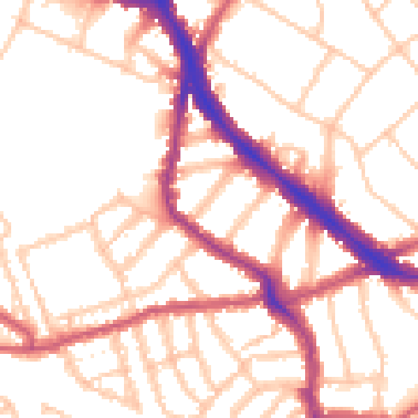
Daytime· 07:00 – 23:00
52.8dB

Night-time· 23:00 – 07:00
42.6dB