Flat E, 226 High Street, London, NW10 4TD
About Flat E
Flat E is a mid-terrace house in London (NW10 4TD). It has a recorded floor area of 33 m² (around 359 sq ft) and construction records dating it to 1900-1929. The latest certificate (December 2011) shows a C (score 69), just inside the C band. The latest certificate is from December 2011, so improvements made since then won't be reflected.
At 33 m² it's 25.1% smaller than the typical home in the postcode (45 m² median across 24 EPCs).
Everything you need to know about Flat E
The true value, the hidden risks and the full sale history, in one report.
30-day money-back guarantee

The data behind every report


Energy performance
Flat E's EPC is over a decade old — improvements since won't be reflected.
EPC Expired
This certificate is over 10 years old and is no longer valid.Expired 19 Dec 2021
EPC Rating
Planning history
Flat E has no planning applications on record.
Notable planning nearby
19applications of note in the surrounding area
We flagged 1 thing worth checking at Flat E
Independent checks surfaced things a buyer would want to understand before offering. The report explains each one in full, with the underlying data and what to ask.
- Signs of HMO activity in the area
30-day money-back guarantee
Sales history & valuation
Flat E has no Land Registry sales on file, suggesting it has stayed in the same hands since registration began.
£274,000
Modelled from EPC, postcode comparables.
No sales recorded with HM Land Registry
That can mean the property has never traded since the registry began publishing in 1995, was a new build that hasn't been registered yet, or is held in the same hands long-term.
Median price across the last 5 sales in NW10 4TD: £153,000 (2023–2014).
Nearby sales in NW10 4TD
228a 228c, High Street, Brent, London, NW10 4TD
Sold Aug 2023
£205,000228a, High Street, London, NW10 4TD
Sold Mar 2020
£10,000226 High Street, Brent, London, NW10 4TD
Sold Mar 2020
£10,000Flat 1, 238 High Street, London, NW10 4TD
Sold May 2019
£760,000Flat C, 234 High Street, London, NW10 4TD
Sold Jun 2014
£153,000
Versus other High Street homes
On floor area, Flat E runs well behind the street norm.
EPC Rating
69 (C)
Street avg 67 (D)
Floor Area
33 m²
Street avg 46 m²
CO₂ Emissions
1.6 t/year
Street avg 2.1 t/year
Habitable Rooms
2 rooms
Street avg 2 rooms
Everything you need to know about Flat E
The true value, the hidden risks and the full sale history, in one report.
30-day money-back guarantee
The data behind every report
Similar properties nearby
11 Bank Buildings, Flat 3, High Street
NW10 4LT
113a, Flat 1, High Street
NW10 4TR
10 Bank Buildings, Flat A, High Street
NW10 4LT
10 Bank Buildings, Flat B, High Street
NW10 4LT
156a, Flat 1, Manor Park Road, Brent
NW10 4JR
11 Bank Buildings, Flat 2, High Street
NW10 4LT
135a 137a, Flat 1, High Street
NW10 4TR
135a 137a, Flat 4, High Street
NW10 4TR
The neighbourhood at a glance
Rail-style transport is unusually close for this postcode.
Crime
11/mo
Rising year-on-year across the wider district.
Nearest stop
0.1 km
Willesden Junction Station — bus stop.
Closest school
0.2 km
Furness Primary School. 62 schools nearby.
Go deeper on the local area
The full report breaks down crime, transport links, schools and air quality in depth.
Road noise across the postcode
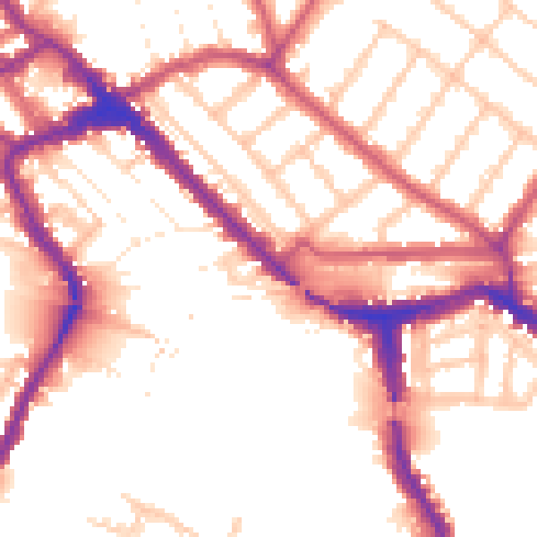
Daytime· 07:00 – 23:00
54.1dB

Night-time· 23:00 – 07:00
45.6dB