Flat D, 226 High Street, London, NW10 4TD
About Flat D
Flat D is a property in London (NW10 4TD). It has council tax band A.
Held since August 2006 — that's 20 years off the open market, well above the local norm. Across 2002–2006, sale prices on this property compounded at 14.2% per year. One historical planning record sits against the property in 2004.
Everything you need to know about Flat D
The true value, the hidden risks and the full sale history, in one report.
30-day money-back guarantee

The data behind every report


Energy performance
No EPC on record
This property doesn't have an Energy Performance Certificate yet. An EPC is required to sell or let — and unlocks our automated valuation.
Planning history
- Oct 2004OutlineIn report
Certificate of Lawfulness for proposed use of part of ground floor as a chauffeur vehicle-hire service
- Documents
- 3 docs on file
- Reference
- 04/2597
We flagged 1 thing worth checking at Flat D
Independent checks surfaced things a buyer would want to understand before offering. The report explains each one in full, with the underlying data and what to ask.
- Signs of HMO activity in the area
30-day money-back guarantee
Sales history & valuation
£148,000
Growth on file: 14.2% per year over 4 years.
Sales timeline
10 August 2006Most recent
£148,000
+71.1%over 4 years25 July 2002
£86,500
Median price across the last 5 sales in NW10 4TD: £153,000 (2023–2014).
Nearby sales in NW10 4TD
228a 228c, High Street, Brent, London, NW10 4TD
Sold Aug 2023
£205,000228a, High Street, London, NW10 4TD
Sold Mar 2020
£10,000226 High Street, Brent, London, NW10 4TD
Sold Mar 2020
£10,000Flat 1, 238 High Street, London, NW10 4TD
Sold May 2019
£760,000Flat C, 234 High Street, London, NW10 4TD
Sold Jun 2014
£153,000
Everything you need to know about Flat D
The true value, the hidden risks and the full sale history, in one report.
30-day money-back guarantee
The data behind every report
Similar properties nearby
10 Bank Buildings, Flat A, High Street
NW10 4LT
10 Bank Buildings, Flat B, High Street
NW10 4LT
113a, Flat 1, High Street
NW10 4TR
11 Bank Buildings, Flat 3, High Street
NW10 4LT
135a 137a, Flat 1, High Street
NW10 4TR
135a 137a, Flat 4, High Street
NW10 4TR
135a 137a, Flat 3, High Street
NW10 4TR
135a 137a, Flat 2, High Street
NW10 4TR
The neighbourhood at a glance
Rail-style transport is unusually close for this postcode.
Crime
11/mo
Rising year-on-year across the wider district.
Nearest stop
0.1 km
Willesden Junction Station — bus stop.
Closest school
0.2 km
Furness Primary School. 62 schools nearby.
Go deeper on the local area
The full report breaks down crime, transport links, schools and air quality in depth.
Road noise across the postcode
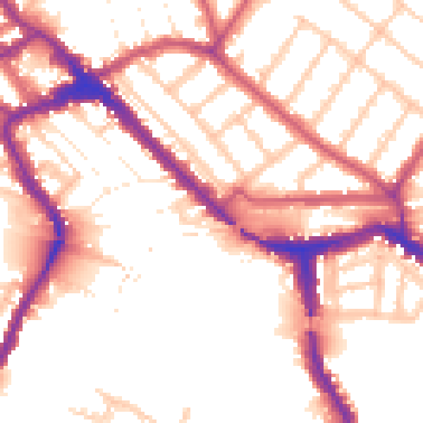
Daytime· 07:00 – 23:00
54.1dB

Night-time· 23:00 – 07:00
45.6dB