228b, High Street, London, NW10 4TD
About 228b
228b is a one-bedroom mid-terrace house in London (NW10 4TD). It has a recorded floor area of 46 m² (around 495 sq ft), construction records dating it to before 1900 and council tax band B. At 46 m² this is the 10th smallest of 17 units on EPC record in the building, where floor areas span 21–73 m². The building's EPC ratings span E to C, with this unit at the top. The latest certificate (March 2021) shows a C (score 71). When first surveyed in March 2010 the rating was D, the property has climbed 1 band since. Between certificates, lighting went from Very Poor to Very Good.
Untraded for 27 years, with the last transfer in April 1999. Only one transfer is on record with HM Land Registry, suggesting it has stayed in the same hands for a long time. Today's modelled estimate of £289,000 sits 588.1% above the 1999 sale of £42,000. On a £-per-square-foot basis, the last sale (£85/sq ft) was about 48.6% below the postcode norm.
What this property has
Inside
- Bedrooms1
Everything you need to know about 228b
The true value, the hidden risks and the full sale history, in one report.
30-day money-back guarantee

The data behind every report


Energy performance
EPC Rating
Property Improvements
Changes detected from historical EPC data
More low energy lighting installed
Planning history
228b has no planning applications on record.
Notable planning nearby
19applications of note in the surrounding area
We flagged 1 thing worth checking at 228b
Independent checks surfaced things a buyer would want to understand before offering. The report explains each one in full, with the underlying data and what to ask.
- Signs of HMO activity in the area
30-day money-back guarantee
Sales history & valuation
228b's modelled value sits at over four times its earliest registered sale price (1999).
£289,000
Modelled from EPC, postcode comparables.
£42,000
Recorded with HM Land Registry.
Sales timeline
8 April 1999Most recent
£42,000
Median price across the last 5 sales in NW10 4TD: £153,000 (2023–2014).
Nearby sales in NW10 4TD
228a 228c, High Street, Brent, London, NW10 4TD
Sold Aug 2023
£205,000228a, High Street, London, NW10 4TD
Sold Mar 2020
£10,000226 High Street, Brent, London, NW10 4TD
Sold Mar 2020
£10,000Flat 1, 238 High Street, London, NW10 4TD
Sold May 2019
£760,000Flat C, 234 High Street, London, NW10 4TD
Sold Jun 2014
£153,000
Versus other High Street homes
Price per m² for 228b lags the street by a wide margin.
Price per m²
£913
Street avg £3,676
Floor Area
46 m²
Street avg 45 m²
Habitable Rooms
2 rooms
Street avg 2 rooms
CO₂ Emissions
1.8 t/year
Street avg 2.1 t/year
Everything you need to know about 228b
The true value, the hidden risks and the full sale history, in one report.
30-day money-back guarantee
The data behind every report
Similar properties nearby
1 Burns Road, Brent
NW10 4DT
1 Harlesden Gardens, Brent
NW10 4EY
10 Bank Buildings, Flat A, High Street
NW10 4LT
10 Bank Buildings, Flat B, High Street
NW10 4LT
1 Tavistock Road, Brent
NW10 4NB
1 Nightingale Road, Brent
NW10 4RG
1 Buckingham Mews, Brent
NW10 4RN
1 Clifton Road, Brent
NW10 4RB
The neighbourhood at a glance
Rail-style transport is unusually close for this postcode.
Crime
11/mo
Rising year-on-year across the wider district.
Nearest stop
0.1 km
Willesden Junction Station — bus stop.
Closest school
0.2 km
Furness Primary School. 62 schools nearby.
Go deeper on the local area
The full report breaks down crime, transport links, schools and air quality in depth.
Road noise across the postcode
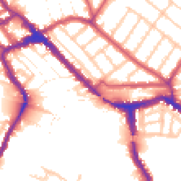
Daytime· 07:00 – 23:00
54.1dB

Night-time· 23:00 – 07:00
45.6dB