Are you a property professional?Get qualified leads from motivated homeowners.
Get started15a, Burns Road, London, NW10 4DT
About 15a
A plain-English summary derived from public records, EPC certificates, sold prices and local data.
15a is an end-of-terrace house in London (NW10 4DT). It has a recorded floor area of 60 m² (around 646 sq ft), construction records dating it to 1900-1929 and council tax band C. At 60 m² this is the 14th smallest of 34 units on EPC record in the building, where floor areas span 49–86 m². The building's EPC ratings span E to C, with this unit at the top. The latest certificate (November 2020) shows a C (score 69), just inside the C band. When first surveyed in April 2009 the rating was D, the property has climbed 1 band since. Between certificates, lighting went from Poor to Very Good.
Held since August 1997 — that's 29 years off the open market, well above the local norm. Across 1997–1997, sale prices here grew 0% per year, broadly in step with London's 0% HPI growth. Today's modelled estimate of £366,000 sits 945.7% above the 1997 sale of £35,000. On a £-per-square-foot basis, the last sale (£54/sq ft) was about 81.8% below the postcode norm.
Energy performance
Every EPC certificate filed against this property — current rating, recorded improvements, and where there's headroom to reach a higher band.
Current Certificate(1 of 3)
Nov 2020
EPC Rating
A
B
C
C69
D
E
F
G
Main Heating
Gas
Main Fuel
Gas
Hot Water
Good
Windows
Very Poor
CO2 Emissions
2.2 t/year
Occupancy
Rented
Sales history & valuation
Recorded transactions, our model's current estimate, and a quick read on what neighbouring properties have sold for.
Latest sale on 15a was the lowest on Land Registry record across the postcode.
Current estimate
See how we calculated this£366,000
Modelled from EPC, postcode comparables.
Last sold (1997)
£35,000
Recorded with HM Land Registry.
Sales timeline
Full property reportLaunch offer · 33% off
The complete analysis of 15a, Burns Road, London, NW10 4DT
Everything we know about this property, compiled into one in-depth, downloadable report.
Detailed AI analysis
Versus other Burns Road homes
Four headline reads against 49 similar flats on this street, drawn from the latest EPC and Land Registry data.
On price per m², 15a runs well behind the street norm.
Price per m²
£583
Street avg £4,024
Floor Area
60 m²
Street avg 62 m²
Habitable Rooms
3 rooms
Street avg 3 rooms
Similar properties nearby
A handful of close matches in the same postcode area, ranked by likeness on bedrooms, type and floor area.
The neighbourhood at a glance
A condensed read of the local area. Each tile links through to the full breakdown on the London district page.
Rail-style transport is unusually close for this postcode.
Crime
11/mo
Rising year-on-year across the wider district.
Nearest stop
0.2 km
St Mary's Road Craven Park Road — bus stop.
Road noise across the postcode
Modelled day and night-time noise levels around NW10 4DT from Defra's strategic mapping. The pin marks this postcode's centroid.
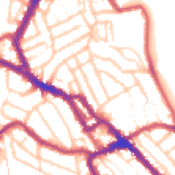
Daytime· 07:00 – 23:00
54.3dB

Everything within walking distance
Schools, transport stops and scenic spots near this property — 82 points of interest in total.
Common questions
The questions buyers, sellers and homeowners most often ask about 15a, Burns Road, London, NW10 4DT. Each answer is also embedded as structured data for search engines.