Are you a property professional?Get qualified leads from motivated homeowners.
Get started33a, Meyrick Road, London, NW10 2EL
4 sales on record
About 33a
A plain-English summary derived from public records, EPC certificates, sold prices and local data.
33a is a one-bedroom detached house in London (NW10 2EL). It has a recorded floor area of 53 m² (around 572 sq ft), construction records dating it to 1900-1929 and council tax band B. The latest certificate (October 2011) shows an E (score 51), well below the UK norm with real room to improve. The recommended improvements would push it to D (score 68). The latest certificate is from October 2011, so improvements made since then won't be reflected.
Sale prices here have outpaced London HPI: 13.7% per year against 0% for the wider region. On a £-per-square-foot basis, the last sale (£710/sq ft) was about 179.2% above the typical sold price in the postcode. At 53 m² it sits well below the postcode median (103 m² across 17 EPCs), making it one of the more compact homes locally. 10 years since the last transfer (March 2016). Across the public record there are 4 sales, relatively high churn for a single property. 2 planning records sit against the property, 2 approved, 0 refused. Past consents include an extension, meaningful when judging how the property has evolved.
What this property has
Pulled from EPC certificates, claim submissions and our property model. Empty categories are hidden — we only show what's known.
Inside
- Bedrooms1
- Dining roomYes
Building
- RefurbishedYes
Energy performance
Every EPC certificate filed against this property — current rating, recorded improvements, and where there's headroom to reach a higher band.
33a's EPC is over a decade old — improvements since won't be reflected.
EPC Expired
This certificate is over 10 years old and is no longer valid.Expired 12 Oct 2021
Planning history
Applications and permits filed against 33a, Meyrick Road, London, NW10 2EL, sourced from the PlanIt planning register.
33a has an approved single-storey extension on the planning record.
- Jun 2022ExtensionFullGranted
Extension: Single storey
Proposed single storey rear side infill extension to ground floor flat
Sales history & valuation
Recorded transactions, our model's current estimate, and a quick read on what neighbouring properties have sold for.
Price for 33a has grown more than fourfold since the 1995 starting point.
Current estimate
See how we calculated this£385,000
Modelled from EPC, postcode comparables and a sale-price growth of 13.7% per year over 21 years.
Last sold (2016)
£406,000
Growth on file: 13.7% per year over 21 years.
Sales timeline
Full property reportLaunch offer · 33% off
The complete analysis of 33a, Meyrick Road, London, NW10 2EL
Everything we know about this property, compiled into one in-depth, downloadable report.
Detailed AI analysis
Versus other Meyrick Road homes
Four headline reads against 3 similar flats on this street, drawn from the latest EPC and Land Registry data.
EPC Rating
51 (E)
Street avg 58 (D)
Floor Area
53 m²
Street avg 52 m²
CO₂ Emissions
3.9 t/year
Street avg 3.0 t/year
Similar properties nearby
A handful of close matches in the same postcode area, ranked by likeness on bedrooms, type and floor area.
The neighbourhood at a glance
A condensed read of the local area. Each tile links through to the full breakdown on the London district page.
Rail-style transport is unusually close for this postcode.
Crime
11/mo
Rising year-on-year across the wider district.
Nearest stop
0.0 km
Pound Lane (NW10) — bus stop.
Road noise across the postcode
Modelled day and night-time noise levels around NW10 2EL from Defra's strategic mapping. The pin marks this postcode's centroid.
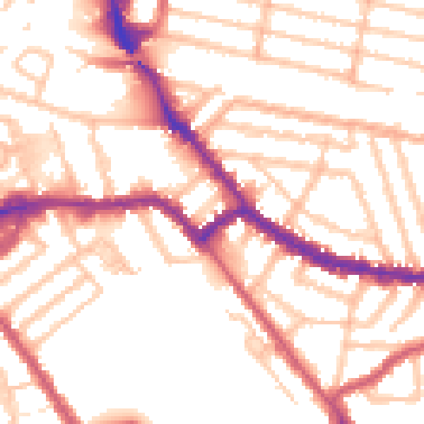
Daytime· 07:00 – 23:00
53.5dB

Everything within walking distance
Schools, transport stops and scenic spots near this property — 79 points of interest in total.
Common questions
The questions buyers, sellers and homeowners most often ask about 33a, Meyrick Road, London, NW10 2EL. Each answer is also embedded as structured data for search engines.