Are you a property professional?Get qualified leads from motivated homeowners.
Get startedSecond Floor Flat, 7 Agar Grove, London, NW1 9SL
About Second Floor Flat
A plain-English summary derived from public records, EPC certificates, sold prices and local data.
Second Floor Flat is a semi-detached house in London (NW1 9SL). It has a recorded floor area of 44 m² (around 474 sq ft) and construction records dating it to before 1900. The latest certificate (June 2021) shows a D (score 66), on the cusp of jumping into the C band. The recommended improvements would push it to C (score 76).
Sale prices here have outpaced London HPI: 5.7% per year against 0% for the wider region. On a £-per-square-foot basis, the last sale (£978/sq ft) was about 32.7% above the typical sold price in the postcode. At 44 m² it's 17% smaller than the typical home in the postcode (53 m² median across 27 EPCs). Last sale on file: £463,000 in December 2021. That sale was during the post-pandemic price surge, when transactions cleared materially above pre-2020 trend.
Energy performance
Every EPC certificate filed against this property — current rating, recorded improvements, and where there's headroom to reach a higher band.
EPC Rating
A
B
C
D
D66
E
F
G
Main Heating
Gas
Main Fuel
Gas
Hot Water
Good
Windows
Good
CO2 Emissions
2.1 t/year
Occupancy
Rented
Sales history & valuation
Recorded transactions, our model's current estimate, and a quick read on what neighbouring properties have sold for.
Second Floor Flat has more than doubled in price since the earliest registered sale in 2003.
Current estimate
See how we calculated this£491,000
Modelled from EPC, postcode comparables and a sale-price growth of 5.7% per year over 18 years.
Last sold (2021)
£463,000
Growth on file: 5.7% per year over 18 years.
Sales timeline
Versus other Agar Grove homes
Four headline reads against 27 similar flats on this street, drawn from the latest EPC and Land Registry data.
Second Floor Flat is notably below the street on habitable rooms.
Price per m²
£10,523
Street avg £12,413
Floor Area
44 m²
Street avg 65 m²
Habitable Rooms
1 rooms
Street avg 3 rooms
Similar properties nearby
A handful of close matches in the same postcode area, ranked by likeness on bedrooms, type and floor area.
The neighbourhood at a glance
A condensed read of the local area. Each tile links through to the full breakdown on the London district page.
Rail-style transport is unusually close for this postcode.
Crime
18/mo
Rising year-on-year across the wider district.
Nearest stop
0.1 km
Murray Street Camden — bus stop.
Road noise across the postcode
Modelled day and night-time noise levels around NW1 9SL from Defra's strategic mapping. The pin marks this postcode's centroid.
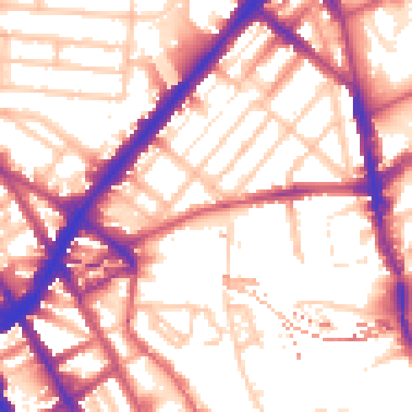
Daytime· 07:00 – 23:00
56.6dB
Everything within walking distance
Schools, transport stops and scenic spots near this property — 113 points of interest in total.
Beautiful places to visit nearby
Curated scenic spots within reach of this postcode, served by Beautifulplaces.ai. Photography and tagging come from their open dataset.
Common questions
The questions buyers, sellers and homeowners most often ask about Second Floor Flat, 7 Agar Grove, London, NW1 9SL. Each answer is also embedded as structured data for search engines.