Are you a property professional?Get qualified leads from motivated homeowners.
Get started2 Brunswick Place, Westminster, London, NW1 4PN
26 planning records
About 2 Brunswick Place
A plain-English summary derived from public records, EPC certificates, sold prices and local data.
2 Brunswick Place is a mid-terrace house in Westminster, London, London (NW1 4PN). It has a recorded floor area of 399 m² (around 4290 sq ft) and construction records dating it to before 1900. The latest certificate (June 2011) shows an E (score 46), well below the UK norm with real room to improve. The latest certificate is from June 2011, so improvements made since then won't be reflected.
26 planning records sit against the property, 19 approved, 4 refused, 1 pending. Past consents include tree works, an extension and new windows, meaningful when judging how the property has evolved. An application is currently awaiting a decision. The record references listed-building consent, which constrain future alterations. At 399 m² it's 15% larger than the typical home in the postcode (347 m² median across 4 EPCs).
Energy performance
Every EPC certificate filed against this property — current rating, recorded improvements, and where there's headroom to reach a higher band.
2 Brunswick Place's carbon output runs well above what efficient homes in the postcode produce.
EPC Expired
This certificate is over 10 years old and is no longer valid.Expired 30 Jun 2021
Planning history
Applications and permits filed against 2 Brunswick Place, Westminster, London, NW1 4PN, sourced from the PlanIt planning register.
2 Brunswick Place has multiple listed-building consents on file — alterations need formal heritage approval.
- Feb 2024Tree WorksTreesGranted
1 x lime (front): crown reduce to previous, most recent reduction points, retaining at least 50% of shortened growth (about 0.5m long) and fine branch structure, and maintaining a naturally flowing canopy outline. Remove epicormic growth from lower trunk to main crown break.
Sales history & valuation
Recorded transactions, our model's current estimate, and a quick read on what neighbouring properties have sold for.
2 Brunswick Place has no Land Registry sales on file, suggesting it has stayed in the same hands since registration began.
Current estimate
See how we calculated this£5,002,000
Modelled from EPC, postcode comparables.
No sales recorded with HM Land Registry
That can mean the property has never traded since the registry began publishing in 1995, was a new build that hasn't been registered yet, or is held in the same hands long-term.
Versus other Brunswick Place homes
Four headline reads against 4 similar houses on this street, drawn from the latest EPC and Land Registry data.
EPC Rating for 2 Brunswick Place lags the street by a wide margin.
EPC Rating
46 (E)
Street avg 53 (E)
Floor Area
399 m²
Street avg 324 m²
CO₂ Emissions
22.0 t/year
Street avg 15.4 t/year
Similar properties nearby
A handful of close matches in the same postcode area, ranked by likeness on bedrooms, type and floor area.
The neighbourhood at a glance
A condensed read of the local area. Each tile links through to the full breakdown on the London district page.
Rail-style transport is unusually close for this postcode.
Crime
18/mo
Rising year-on-year across the wider district.
Nearest stop
0.1 km
Harley Street — bus stop.
Road noise across the postcode
Modelled day and night-time noise levels around NW1 4PN from Defra's strategic mapping. The pin marks this postcode's centroid.
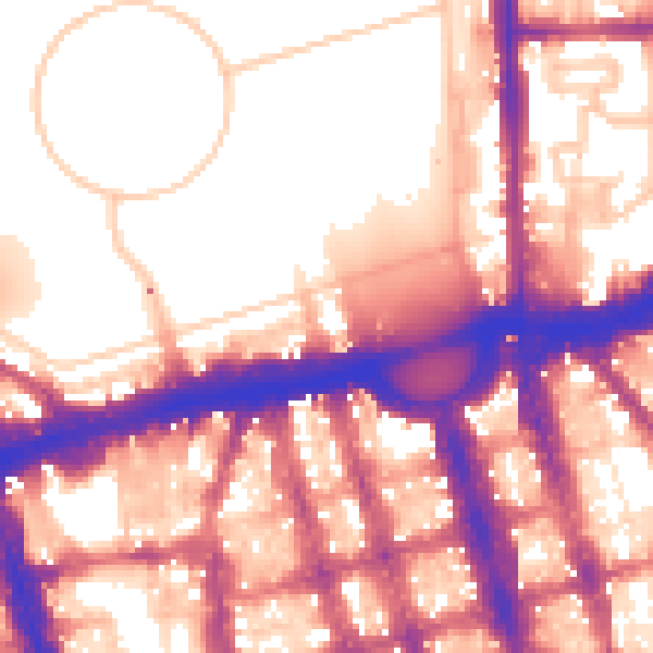
Daytime· 07:00 – 23:00
58.8dB

Everything within walking distance
Schools, transport stops and scenic spots near this property — 93 points of interest in total.
Beautiful places to visit nearby
Curated scenic spots within reach of this postcode, served by Beautifulplaces.ai. Photography and tagging come from their open dataset.
Common questions
The questions buyers, sellers and homeowners most often ask about 2 Brunswick Place, Westminster, London, NW1 4PN. Each answer is also embedded as structured data for search engines.