12 Wyndham Street, Sheringham, NR26 8BA
About 12 Wyndham Street
12 Wyndham Street is a three-bedroom mid-terrace house in Sheringham (NR26 8BA). It has a recorded floor area of 95 m² (around 1023 sq ft), construction records dating it to 1900-1929 and council tax band B. The latest certificate (March 2025) shows a D (score 67), on the cusp of jumping into the C band. The rating has held steady at D across 2 certificates since December 2013. Between certificates, window efficiency went from Poor to Good and lighting went from Good to Very Good. The recommended improvements would lift it to B (score 87), a 2-band jump. Period features are noted in the property record.
Most recent transfer was November 2025 at £320,000 — fresh data. 2 planning records sit against the property, 1 approved, 0 refused. Past consents include tree works, meaningful when judging how the property has evolved. At 95 m² it's 15.2% larger than the typical home in the postcode (83 m² median across 6 EPCs). Across 1995–2025, sale prices on this property compounded at 6.6% per year. On a £-per-square-foot basis, the last sale (£313/sq ft) was about 46.7% above the typical sold price in the postcode.
Know exactly what you're buying at 12 Wyndham Street
Before you offer, see what the listing won't tell you, the true value, the red flags and the full history.
Already flagged here
Valuation
against the asking price
Risks
planning & flood
Sold prices
similar homes nearby
Trends
the local market
What this property has
Inside
- Bedrooms3
- Bathrooms1
- FireplaceYes
Outside
- Private gardenSouth-facing
- ParkingOff road
- Summer houseYes
Building
- Heating systemGas
- Period featuresYes
- RefurbishedYes
Energy performance
Recommended upgrades on file would lift this property by multiple EPC bands.
EPC Rating
Property Improvements
Changes detected from historical EPC data
Windows upgraded, improving insulation
Planning history
Planning records include a solar-panel installation at 12 Wyndham Street.
- Mar 2026Solar PanelsOutlineIn report
Lawful Development Certificate for proposed installation of 8no. solar panels on south facing roof slope
- Documents
- 6 docs on file
- Reference
- EF/26/0114
- Mar 2007Tree WorksTreesIn report
removal of eucalyptus in front garden near elec pole
- Reference
- TW/07/0127
We flagged 1 thing worth checking at 12 Wyndham Street
Independent checks surfaced things a buyer would want to understand before offering. The report explains each one in full, with the underlying data and what to ask.
- Larger development activity nearby
30-day money-back guarantee
Sales history & valuation
12 Wyndham Street has more than quadrupled in price since its earliest registered sale in 1995.
£340,000
Modelled from EPC, postcode comparables and a sale-price growth of 6.6% per year over 30 years.
£320,000
Growth on file: 6.6% per year over 30 years.
Sales timeline
18 November 2025Most recent
£320,000
+73.0%over 11 years19 March 2014
£185,000
+306.6%over 18 years8 June 1995
£45,500
Median price across the last 5 sales in NR26 8BA: £282,500 (2025–2018).
Nearby sales in NR26 8BA
31 Wyndham Street, Sheringham, NR26 8BA
Sold Feb 2025
£395,00016a, Wyndham Street, Sheringham, NR26 8BA
Sold Aug 2024
£325,0008a, The Loft, Wyndham Street, Sheringham, NR26 8BA
Sold Feb 2024
£282,50010 Wyndham Street, Sheringham, NR26 8BA
Sold Jul 2018
£164,00016 Wyndham Street, Sheringham, NR26 8BA
Sold Apr 2018
£250,000
Everything we know about 12 Wyndham Street, in one report
What it's really worth, what could be wrong, and the planning, sales and area data in full.
What we flagged
- Larger development activity nearby

Versus other Wyndham Street homes
Years Held for 12 Wyndham Street lags the street by a wide margin.
Price per m²
£3,368
Street avg £3,551
Floor Area
95 m²
Street avg 84 m²
Habitable Rooms
5 rooms
Street avg 3 rooms
CO₂ Emissions
3.9 t/year
Street avg 4.8 t/year
Similar properties nearby
1 Caxton Close, Beeston Regis
NR26 8SU
1 Augusta Court
NR26 8AH
1 Acacia Grove
NR26 8PA
1 Bramble Drive
NR26 8XH
1 Beeston Common
NR26 8ES
1 Ash Grove
NR26 8PT
1 Birch Grove
NR26 8NT
1 Britons Lane, Beeston Regis
NR26 8SJ
The neighbourhood at a glance
Rail-style transport is unusually close for this postcode.
Crime
2/mo
Steady year-on-year across the wider district.
Nearest stop
0.4 km
Sheringham Rail Station — railway station.
Closest school
1.3 km
Sheringham Community Primary School. 2 schools nearby.
Go deeper on the local area
The full report breaks down crime, transport links, schools and air quality in depth.
Road noise across the postcode
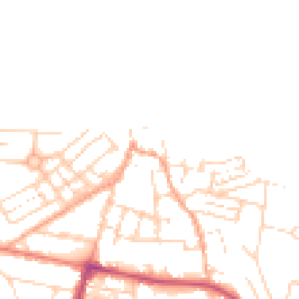
Daytime· 07:00 – 23:00
49.3dB

Night-time· 23:00 – 07:00
39.2dB